Seboruco 2009.pdf - Corpoandes
Seboruco 2009.pdf - Corpoandes
Seboruco 2009.pdf - Corpoandes

You also want an ePaper? Increase the reach of your titles
YUMPU automatically turns print PDFs into web optimized ePapers that Google loves.
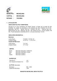
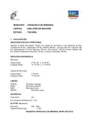
1.3 Ubicación y LímitesUbicado en el Noreste del Estado Táchira, su capital se encuentra a una distancia de: San Cristóbal83 Km., Maracaibo 437 Km., Mérida 217 Km., Caracas 899 Km., Valencia 741 Km. Barquisimeto618 Km., Maracay 790 Km., San Antonio 131 Km, Puerto Cabello 794 Km, Puerto Santander(Colombia) 56 Km, y Cúcuta (Colombia) 103 KmMunicipio.Latitud Norte: 8°04’32’’ 8°13’18’’Longitud Oeste: 72°00’49’’y 72°11’00’’Capital del Municipio.Latitud Norte: 8°08’40’’Longitud Oeste: 72°04’10’’Limites.NORTE:Municipio San Judas TadeoESTE : Municipio JáureguiSUR:OESTE:Municipios José María Vargas, Michelena y Ayacucho.Municipios Antonio Rómulo Costa1.4 División Político Territorial