Mt. Hood Willamette National Forest - Trails Illustrated Map #820
Mt. Hood Willamette National Forest - Trails Illustrated Map #820
Mt. Hood Willamette National Forest - Trails Illustrated Map #820

Create successful ePaper yourself
Turn your PDF publications into a flip-book with our unique Google optimized e-Paper software.
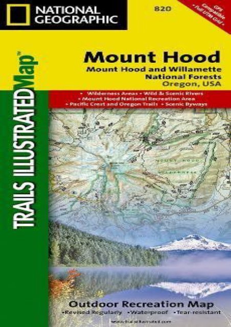
<strong>Mt</strong>. <strong>Hood</strong> <strong>Willamette</strong> <strong>National</strong> <strong>Forest</strong> - <strong>Trails</strong> <strong>Illustrated</strong> <strong>Map</strong> <strong>#820</strong> (<strong>National</strong> Geographic <strong>Map</strong>s - <strong>Trails</strong> <strong>Illustrated</strong>) • Waterproof • Tear-Resistant • Topographic <strong>Map</strong>With its snow-covered peak, Mount <strong>Hood</strong> is an American icon and a premier destination for outdoor enthusiasts. The area s mountains, forests, wildernesses and rivers, provide an abundance of year-round recreation activities. <strong>National</strong> Geographic’s <strong>Trails</strong> <strong>Illustrated</strong> map of Mount <strong>Hood</strong> is expertly researched and created in partnership with the U.S. <strong>Forest</strong> Service and others, to provide unparalleled detail for anyone wishing to explore this magnificent area. Included in the map are Mount <strong>Hood</strong> and <strong>Willamette</strong> <strong>National</strong> <strong>Forest</strong>s, Mount <strong>Hood</strong> <strong>National</strong> Recreation Area, Olallie Lake Scenic Area, Sandy and Clackamas Rivers, Badger Creek and Timothy Lake. Descriptions of the region s eight wilderness areas are also provided, including Badger Creek, Bull of the Woods, Mount <strong>Hood</strong> and Salmon-Huckleberry Wilderness Areas.With clearly marked trails including the Pacific Crest Trail and the Oregon <strong>National</strong> Historic Trail, and such scenic roadways as the West Cascades and Mount <strong>Hood</strong> Scenic Byways, this map will prove invaluable whether you’re taking in the scenery on foot, by bike, on horseback or by car. Among the many recreation and adventure features noted on the map are campgrounds and primitive<br />
campsites, rock climbing areas, river access and boat launch points, ski areas and sno-parks, fishing areas and lookout towers. Also included are permit and background information and safety tips for climbing Mount <strong>Hood</strong> as well as essential contact information.Every <strong>Trails</strong> <strong>Illustrated</strong> map is printed on "Backcountry Tough" waterproof, tear-resistant paper. A full UTM grid is printed on the map to aid with GPS navigation.Other features found on this map include: Badger Creek Wilderness, Barlow Pass, Battle Ax, Bull of the Woods Wilderness, Bull Run Reservoir Number One, Clackamas Wilderness, Detroit Lake, Fish Creek Mountain, Hunchback Mountain, Mount <strong>Hood</strong>, Mount <strong>Hood</strong> Wilderness, Mount Jefferson Wilderness, <strong>Mt</strong>. <strong>Hood</strong> <strong>National</strong> <strong>Forest</strong>, Olallie Butte, Opal Creek Wilderness, Roaring River Wilderness, Salmon-Huckleberry Wilderness, Shellrock Mountain, Timothy Lake, Wanderers Peak, Wapinitia Pass, <strong>Willamette</strong> <strong>National</strong> <strong>Forest</strong>, Zigzag Mountain.<strong>Map</strong> Scale = 1:75,000Sheet Size = 37.75" x 25.5"Folded Size = 4.25" x 9.25"<br />
<strong>Mt</strong>. <strong>Hood</strong> <strong>Willamette</strong> <strong>National</strong><br />
<strong>Forest</strong> - <strong>Trails</strong> <strong>Illustrated</strong> <strong>Map</strong><br />
<strong>#820</strong>