AM Heft61 - Hochschule Anhalt
AM Heft61 - Hochschule Anhalt
AM Heft61 - Hochschule Anhalt

Sie wollen auch ein ePaper? Erhöhen Sie die Reichweite Ihrer Titel.
YUMPU macht aus Druck-PDFs automatisch weboptimierte ePaper, die Google liebt.
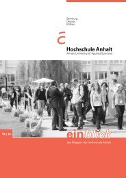
Amtliches Mitteilungsblatt der <strong>Hochschule</strong> <strong>Anhalt</strong> Nr. 61/2013 vom 27.06.2013<br />
Bernburg<br />
Dessau<br />
Köthen<br />
Anlage 3<br />
<strong>Hochschule</strong> <strong>Anhalt</strong><br />
<strong>Anhalt</strong> University of Applied Sciences<br />
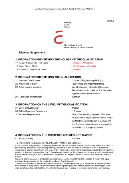
Diploma Supplement<br />
1. INFORMATION IDENTIFYING THE HOLDER OF THE QUALIFICATION<br />
1.1 Family Name / 1.2. First Name «Name», «Vorname»<br />
1.3 Date, Place of birth «GebDatum», «GebOrt»<br />
1.4 Student ID Number or Code «Mtknr»<br />
2. INFORMATION IDENTIFYING THE QUALIFICATION<br />
2.1 Name of Qualification Master of Engineering (M.Eng.)<br />
2.2 Main Field of Study Surveying and Geoinformatics<br />
2.3 Administering Institution <strong>Anhalt</strong> University of Applied Sciences,<br />
Department of Architecture, Facility Management<br />
and Geoinformation<br />
2.4. Language of Instruction German<br />
3. INFORMATION ON THE LEVEL OF THE QUALIFICATION<br />
3.1 Level of Qualification Master<br />
3.2 Official Length of Programme 1,5 years<br />
3.3 Access Requirements One of the following degrees: Bakkalaureus/Bachelor<br />
degree (three years); Magister/Master<br />
degree; Diplom in Geoinformation<br />
Science, Informatics or in appropriate<br />
related field or foreign equivalent.<br />
4. INFORMATION ON THE CONTENTS AND RESULTS GAINED<br />
4.1 Mode of Study full time<br />
4.2 Programme Requirements / Qualification Profile of the Graduate<br />
In the Master’s Programme for Surveying and Geoinformatics students are taught comprehensibly in the study of<br />
the following disciplines: technical engineering, mathematics and the natural sciences in order to enable the<br />
graduates to operate scientifically and responsibly in their future professions. In particular, students will be put in a<br />
position to take into consideration new findings in engineering and life sciences and be able to apply the demands<br />
in commercial, ecological and safety related components in the geoinformation industry and its related industry<br />
sector.<br />
Students learn processes in production, development, operation monitoring, the selection of facility and equipment<br />
and the processes for the production and use of geoinformation.<br />
The students possess a sound background in the basic knowledge and range of techniques in the above mentioned<br />
areas of competence which were obtained during team projects where students were encouraged to design,<br />
develop and operate facilities. In particular they are able to adjust to technological changes very quickly.<br />
47