City of Appleton On-Street Bike Lane Plan
City of Appleton On-Street Bike Lane Plan
City of Appleton On-Street Bike Lane Plan
Create successful ePaper yourself
Turn your PDF publications into a flip-book with our unique Google optimized e-Paper software.
CHAPTER 4: RECOMMENDATIONS<br />
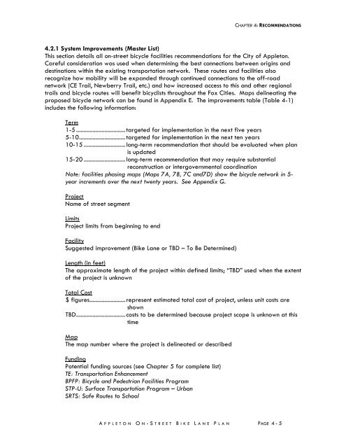
4.2.1 System Improvements (Master List)<br />
This section details all on-street bicycle facilities recommendations for the <strong>City</strong> <strong>of</strong> <strong>Appleton</strong>.<br />
Careful consideration was used when determining the best connections between origins and<br />
destinations within the existing transportation network. These routes and facilities also<br />
recognize how mobility will be expanded through continued connections to the <strong>of</strong>f-road<br />
network (CE Trail, Newberry Trail, etc.) and how increased access to this and other regional<br />
trails and bicycle routes will benefit bicyclists throughout the Fox Cities. Maps delineating the<br />
proposed bicycle network can be found in Appendix E. The improvements table (Table 4-1)<br />
includes the following information:<br />
Term<br />
1-5 ................................. targeted for implementation in the next five years<br />
5-10 ............................... targeted for implementation in the next ten years<br />
10-15 ............................ long-term recommendation that should be evaluated when plan<br />
is updated<br />
15-20 ............................ long-term recommendation that may require substantial<br />
reconstruction or intergovernmental coordination<br />
Note: facilities phasing maps (Maps 7A, 7B, 7C and7D) show the bicycle network in 5-<br />
year increments over the next twenty years. See Appendix G.<br />
Project<br />
Name <strong>of</strong> street segment<br />
Limits<br />
Project limits from beginning to end<br />
Facility<br />
Suggested improvement (<strong>Bike</strong> <strong>Lane</strong> or TBD – To Be Determined)<br />
Length (in feet)<br />
The approximate length <strong>of</strong> the project within defined limits; “TBD” used when the extent<br />
<strong>of</strong> the project is unknown<br />
Total Cost<br />
$ figures ........................ represent estimated total cost <strong>of</strong> project, unless unit costs are<br />
shown<br />
TBD ................................. costs to be determined because project scope is unknown at this<br />
time<br />
Map<br />
The map number where the project is delineated or described<br />
Funding<br />
Potential funding sources (see Chapter 5 for complete list)<br />
TE: Transportation Enhancement<br />
BPFP: Bicycle and Pedestrian Facilities Program<br />
STP-U: Surface Transportation Program – Urban<br />
SRTS: Safe Routes to School<br />
A PPLETON O N -STREET B IKE L ANE P LAN<br />
PAGE 4 - 5


