Hearn Gulch Management Plan - California Coastal Conservancy
Hearn Gulch Management Plan - California Coastal Conservancy
Hearn Gulch Management Plan - California Coastal Conservancy

Create successful ePaper yourself
Turn your PDF publications into a flip-book with our unique Google optimized e-Paper software.
property had never been fenced or “signed”, vehicles have been driven out onto the<br />
headlands and down to a point approximately 75 feet south of the property’s sandy beach.<br />
• Cultural Resources Survey: An archaeological survey and onsite evaluation was conducted<br />
in 2004. No prehistoric or historic-period cultural resources were discovered; therefore, no<br />
recommendations were made.<br />
• Geologic Evaluation: A registered <strong>California</strong> geologist did a geological evaluation of the<br />
property in 2004. From a geologic standpoint, the existing highway access, parking and<br />
public trail areas are situated on land suitable for these uses.<br />
• Existing Trails: Basically three unofficial trails currently exist on the property. One, created<br />
by past vehicle use, leads out from the highway to a midway point on the large headland.<br />
Another leads down the wide northern depression to the <strong>Hearn</strong> <strong>Gulch</strong> Cove, Creek and sandy<br />
beach. The third is a footpath that runs from the beginning of the smaller, most northern<br />
headland out to the edge of that headland’s bluff top. In addition, the steep face of Sea Cave<br />
Cove shows evidence of past occasional foot traffic.<br />
• Vehicular Damage: Extensive past vehicle use not only created unsightly rutted “roads” out<br />
to the headlands and down toward the sandy beach, but also caused eroded areas near the<br />
highway. This vehicle trespass throughout the year, including the wet season, denuded the<br />
native grasses and other plants to bare soil.<br />
• Safety Concerns: The western face of both headlands is extremely steep and subject to<br />
unpredictable erosion. Warning signs will be installed to notify the public of this hazard.<br />
• Invasive <strong>Plan</strong>t Species: Preliminary inspection of the headlands indicates the minor<br />
presence of two species of invasive plants. Prior to the end of the Development Phase, a<br />
botanist will be engaged to survey the entire property for invasive plant species and tag them<br />
for removal.<br />
Development <strong>Plan</strong>s<br />
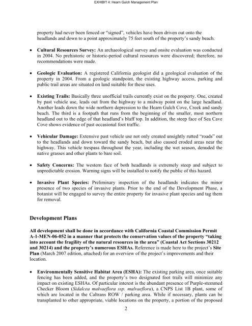
EXHIBIT 4: <strong>Hearn</strong> <strong>Gulch</strong> <strong>Management</strong> <strong>Plan</strong><br />
All development shall be done in accordance with <strong>California</strong> <strong>Coastal</strong> Commission Permit<br />
A-1-MEN-06-052 in a manner that protects the conservation values of the property “taking<br />
into account the fragility of the natural resources in the area” (<strong>Coastal</strong> Act Sections 30212<br />
and 30214) and the property’s numerous ESHAs. Reference is made here to the project’s Site<br />
<strong>Plan</strong> (March 2007 edition, attached) for an overview of the project’s improvements and their<br />
location.<br />
• Environmentally Sensitive Habitat Area (ESHA): The existing parking area, once suitable<br />
fencing has been added, and the property’s two designated foot trails will minimize any<br />
impact on existing ESHAs. Of particular interest is the abundant presence of Purple-stemmed<br />
Checker Bloom (Sidalcea malvaeflora ssp. malvaeflora), a CNPS List 1B plant, some of<br />
which are located in the Caltrans ROW / parking area. While if necessary, plants can be<br />
transplanted to other appropriate, viable locations on the property, a portion of the proposed<br />
2