Gkuthaarn, Kukatj and Kurtijar Peoples - National Native Title Tribunal
Gkuthaarn, Kukatj and Kurtijar Peoples - National Native Title Tribunal
Gkuthaarn, Kukatj and Kurtijar Peoples - National Native Title Tribunal

Create successful ePaper yourself
Turn your PDF publications into a flip-book with our unique Google optimized e-Paper software.
Bibliography <strong>Gkuthaarn</strong>, <strong>Kukatj</strong> <strong>and</strong> <strong>Kurtijar</strong> <strong>Peoples</strong><br />
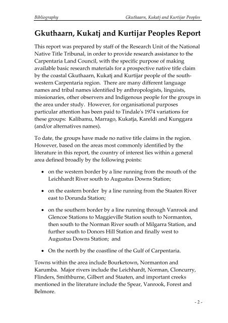
<strong>Gkuthaarn</strong>, <strong>Kukatj</strong> <strong>and</strong> <strong>Kurtijar</strong> <strong>Peoples</strong> Report<br />
This report was prepared by staff of the Research Unit of the <strong>National</strong><br />
<strong>Native</strong> <strong>Title</strong> <strong>Tribunal</strong>, in order to provide research assistance to the<br />
Carpentaria L<strong>and</strong> Council, with the specific purpose of making<br />
available basic research materials for a prospective native title claim<br />
by the coastal <strong>Gkuthaarn</strong>, <strong>Kukatj</strong> <strong>and</strong> <strong>Kurtijar</strong> people of the southwestern<br />
Carpentaria region. There are many different language<br />
names <strong>and</strong> tribal names identified by anthropologists, linguists,<br />
missionaries, other observers <strong>and</strong> Indigenous people for the groups in<br />
the area under study. However, for organisational purposes<br />
particular attention has been paid to Tindale's 1974 variations for<br />
these groups: Kalibamu, Marrago, <strong>Kukatj</strong>a, Kareldi <strong>and</strong> Kunggara<br />
(<strong>and</strong>/or alternatives names).<br />
To date, the groups have made no native title claims in the region.<br />
However, based on the areas most commonly identified by the<br />
literature in this report, the country of interest lies within a general<br />
area defined broadly by the following points:<br />
• on the western border by a line running from the mouth of the<br />
Leichhardt River south to Augustus Downs Station;<br />
• on the eastern border by a line running from the Staaten River<br />
east to Dorunda Station;<br />
• on the southern border by a line running through Vanrook <strong>and</strong><br />
Glencoe Stations to Maggieville Station south to Normanton,<br />
then south to the Norman River south of Milgarra Station, <strong>and</strong><br />
further south to Donors Hill Station <strong>and</strong> finally west to<br />
Augustus Downs Station; <strong>and</strong><br />
• On the north by the coastline of the Gulf of Carpentaria.<br />
Towns within the area include Bourketown, Normanton <strong>and</strong><br />
Karumba. Major rivers include the Leichhardt, Norman, Cloncurry,<br />
Flinders, Smithburne, Gilbert <strong>and</strong> Staaten, <strong>and</strong> important creeks<br />
mentioned in the literature include the Spear, Vanrook, Forest <strong>and</strong><br />
Belmore.<br />
- 2 -