Create successful ePaper yourself
Turn your PDF publications into a flip-book with our unique Google optimized e-Paper software.
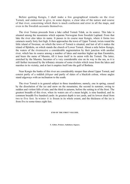
Before quitting Kengis, I shall make a few geographical remarks on the river<br />
Torneå, and endeavour to give, in some degree, a clear idea of the nature and course<br />
of that river, concerning which there is much confusion and error in all the maps, and<br />
even in the Swedish accounts themselves.<br />
The river Tornea proceeds from a lake called Torneå Träsk, as its source. This lake is<br />
situated among the mountains which separate Norwegian from Swedish Lapland. From that<br />
lake the river also takes its name. It passes in its course near Kengis, where it forms two<br />
cataracts nearly forty feet high. It then approaches the town of Upper Torneå, twists round the<br />
little island of Swensar, on which the town of Torneå is situated, and last of all it makes the<br />
island of Björkön, on which stands the church of Lower Torneå. About a mile below Kengis,<br />
the waters of the riverreceive a considerable augmentation by their junction with another<br />
river, which has its source among a number of lakes and marshes higher up than Enontekis,<br />
and bears the name of Muonio, till it loses itself in its union with the Torneå. The latter,<br />
enriched by the Muonio, becomes of a very considerable size on its way to the sea, as it is<br />
still farther increased by the tributary streams of some rivulets which issue from the lakes and<br />
marshes in its vicinity, and at last it empties itself into the gulf of Bothnia.<br />
Near Kengis the banks of this river are considerably steeper than about Upper Torneå, and<br />
consist partly of a reddish feltspar and partly of slates of a blackish colour, whose angles<br />
stand edgeways with an inclination to the south.<br />
The river Torneå is in general subject to three inundations; namely, one in spring, caused<br />
by the dissolution of the ice and snow on the mountains; the second in summer, owing to<br />
sudden and violent falls of rain; and the third in autumn, before the setting in of the frost. The<br />
greatest breadth of this river, when its waters are of a mean height, is nine hundred, and its<br />
common breadth <strong>fi</strong>ve hundred yards: its greatest depth is ten yards, and its lowest shoal from<br />
two to <strong>fi</strong>ve feet. In winter it is frozen in its whole extent, and the thickness of the ice is<br />
from <strong>fi</strong>ve to some-times eight feet.<br />
END OF THE FIRST VOLUIIIE.<br />
T. Gillet, Printer, Salisbury-Square.


