Sea Ice Remote Sensing – From Global to Local View Wolfgang
Sea Ice Remote Sensing – From Global to Local View Wolfgang
Sea Ice Remote Sensing – From Global to Local View Wolfgang

Create successful ePaper yourself
Turn your PDF publications into a flip-book with our unique Google optimized e-Paper software.
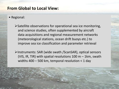
<strong>From</strong> <strong>Global</strong> <strong>to</strong> <strong>Local</strong> <strong>View</strong>:<br />
• Regional:<br />
Satellite observations for operational sea ice moni<strong>to</strong>ring,<br />
and science studies, often supplemented by aircraft<br />
data acquisitions and regional measurement networks<br />
(meteorological stations, ocean drift buoys etc.) <strong>to</strong><br />
improve sea ice classification and parameter retrieval<br />
Instruments: SAR (wide swath /ScanSAR), optical sensors<br />
(VIS, IR, TIR) with spatial resolutions 100 m <strong>–</strong> 1km, swath<br />
widths 400 <strong>–</strong> 500 km, temporal resolution < 1 day