

MyGEOID dilemma - Coordinates
MyGEOID dilemma - Coordinates
MyGEOID dilemma - Coordinates

You also want an ePaper? Increase the reach of your titles
YUMPU automatically turns print PDFs into web optimized ePapers that Google loves.
2004, Athens, Greece.<br />
Forsberg R, Oleson A, Bastos<br />
L, Gidskehaug A, Meyer U, and<br />
Timmen L (1999): Airborne Geoid<br />
Determination, Earth, Planets<br />
and Space , Tsukuba, Japan.<br />
Forsberg R (2000/2002): Basic<br />
of Geoid Determination – With<br />
Applications to the Nordic area Geoid,<br />
Lecture Note for DSMM Malaysia.<br />
Forsberg R (2005): Towards cmgeoid<br />
for Malaysia, Seminar<br />
on <strong>MyGEOID</strong> and MyRTKnet,<br />
Kuala Lumpur, Malaysia.<br />
Fotopoulos G, Kotsakis C, and Sideris<br />
M.G (1999): Evaluation of Geoid<br />
Models and Their Use in Combined<br />
GPS/Levelling/Geoid Height<br />
Network Adjustments, Department of<br />
Geomatics Engineering, The University<br />
of Calgary, Alberta, Canada.<br />
Heiskanen W, and Moritz H. (1966):<br />
Physical Geodesy, W.H Freeman and<br />
Company, San Francisco and London.<br />
Marti U, Schlatter A, Brockmann<br />
E, (2002): Combining Levelling<br />
with GPS Measurements and Geoid<br />
Information, Federal Offi ce of<br />
Topography, Wabern, Switzerland.<br />
Martensson S, (2002): Height<br />
Determination by GPS – Accuracy<br />
with Respect to Different<br />
Geoid Models in Sweden, FIG<br />
XXII International Congress,<br />
Washington D.C, USA.<br />
Pikridas C. et. al. (1999): Local Geoid<br />
Determination Combining GPS,<br />
Gravity and Height Data. A Case<br />
Study in the Area of Thessaloniki,<br />
Tech. Chron. Sci. J. TCG, I, No 3.<br />
Sverre Wisloff (2002):Deriving<br />
Orthometric Heights from<br />
GPS Measurement Using a<br />
Height Reference Surface, FIG<br />
XXII International Congress,<br />
Washington D. C, USA.<br />
Tscherning C . C (2002): Datumshift,<br />
error-estimation and grosserror<br />
detection when using least-<br />
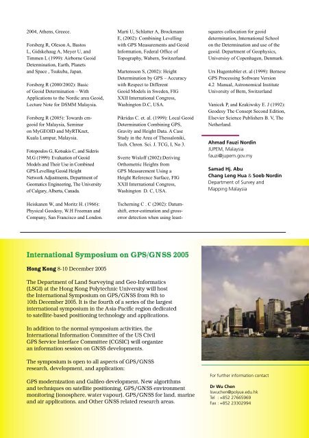
International Symposium on GPS/GNSS 2005<br />
Hong Kong 8-10 December 2005<br />
The Department of Land Surveying and Geo-Informatics<br />
(LSGI) at the Hong Kong Polytechnic University will host<br />
the International Symposium on GPS/GNSS from 8th to<br />
10th December 2005. It is the fourth of a series of the largest<br />
international symposium in the Asia-Pacifi c region dedicated<br />
to satellite-based positioning technology and applications.<br />
In addition to the normal symposium activities, the<br />
International Information Committee of the US Civil<br />
GPS Service Interface Committee (CGSIC) will organize<br />
an information session on GNSS developments.<br />
The symposium is open to all aspects of GPS/GNSS<br />
research, development, and application:<br />
GPS modernization and Galileo development, New algorithms<br />
and techniques on satellite positioning, GPS/GNSS environment<br />
monitoring (ionosphere, water vapour), GPS/GNSS for land, marine<br />
and air applications, and Other GNSS related research areas.<br />
squares collocation for geoid<br />
determination, International School<br />
on the Determination and use of the<br />
geoid. Department of Geophysics,<br />
Universisy of Copenhagen, Denmark.<br />
Urs Hugentobler et. al (1999): Bernese<br />
GPS Processing Software Version<br />
4.2 Manual, Astronomical Institute<br />
University of Bern, Switzerland<br />
Vanicek P, and Krakiwsky E. J (1992):<br />
Geodesy The Consept Second Edition,<br />
Elsevier Science Publishers B. V, The<br />
Netherland.<br />
Ahmad Fauzi Nordin<br />
JUPEM, Malaysia<br />
fauzi@jupem.gov.my<br />
Samad Hj. Abu<br />
Chang Leng Hua & Soeb Nordin<br />
Department of Survey and<br />
Mapping Malaysia<br />
For further information contact<br />
Dr Wu Chen<br />
lswuchen@polyue.edu.hk<br />
Tel : +852 27665969<br />
Fax : +852 23302994<br />
<strong>Coordinates</strong> September 2005 37


