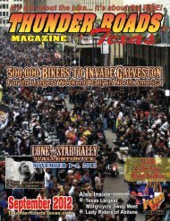
October 2012 - Thunder Roads Texas Motorcycle Magazine
October 2012 - Thunder Roads Texas Motorcycle Magazine
October 2012 - Thunder Roads Texas Motorcycle Magazine

You also want an ePaper? Increase the reach of your titles
YUMPU automatically turns print PDFs into web optimized ePapers that Google loves.
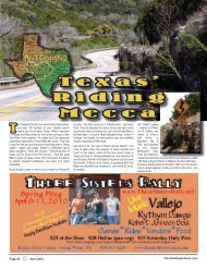
RIDE MAP<br />
TRT’s Lone Star Loop<br />
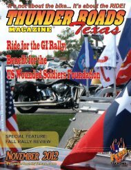
Jackie’s Brickhouse, Kemah<br />
Continuing on Highway 146, again, just a short way, we’ll<br />
veer off course again for stop at our newest <strong>Thunder</strong><br />
<strong>Roads</strong> <strong>Texas</strong> BIKE NIGHT location, Jackie’s Brickhouse<br />
(1053 Marina Bay Drive; JackiesBrickhouse.com). Take<br />
a left on Marina Bay Drive/FM 2094, before crossing the<br />
Kemah Bridge. On the left about a mile up, you can’t miss<br />
it. It’s another live music venue place with great food and<br />
drink specials. If you happen to be around on the third<br />
Thursday of any month,<br />
we’ll be there partying<br />
down for BIKE NIGHT!<br />
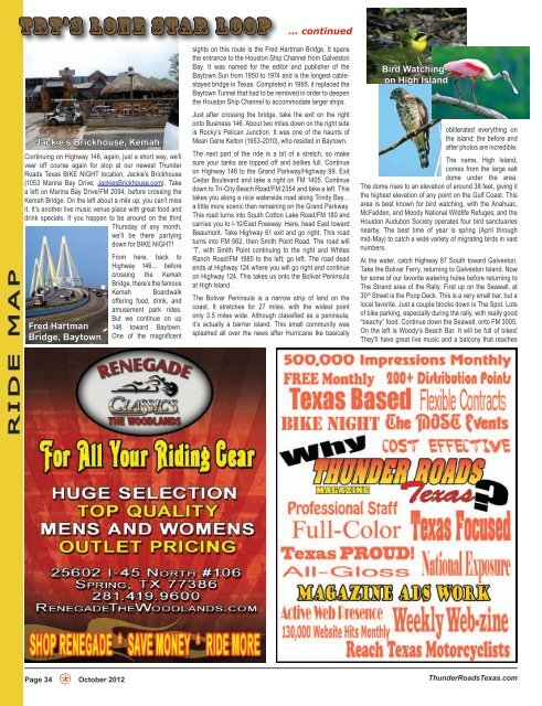
Fred Hartman<br />
Bridge, Baytown<br />
Page 34 H <strong>October</strong> <strong>2012</strong><br />
From here, back to<br />
Highway 146… before<br />
crossing the Kemah<br />
Bridge, there’s the famous<br />
Kemah Boardwalk<br />
offering food, drink, and<br />
amusement park rides.<br />
But we continue on up<br />
146 toward Baytown.<br />
One of the magnificent<br />
... continued<br />
sights on this route is the Fred Hartman Bridge. It spans<br />
the entrance to the Houston Ship Channel from Galveston<br />
Bay. It was named for the editor and publisher of the<br />
Baytown Sun from 1950 to 1974 and is the longest cablestayed<br />
bridge in <strong>Texas</strong>. Completed in 1995, it replaced the<br />
Baytown Tunnel that had to be removed in order to deepen<br />
the Houston Ship Channel to accommodate larger ships.<br />
Just after crossing the bridge, take the exit on the right<br />
onto Business 146. About two miles down on the right side<br />
is Rocky’s Pelican Junction. It was one of the haunts of<br />
Mean Gene Kelton (1953-2010), who resided in Baytown.<br />
The next part of the ride is a bit of a stretch, so make<br />
sure your tanks are topped off and bellies full. Continue<br />
on Highway 146 to the Grand Parkway/Highway 99. Exit<br />
Cedar Boulevard and take a right on FM 1405. Continue<br />
down to Tri-City Beach Road/FM 2354 and take a left. This<br />
takes you along a nice waterside road along Trinity Bay…<br />
a little more scenic than remaining on the Grand Parkway.<br />
This road turns into South Cotton Lake Road/FM 180 and<br />
carries you to I-10/East Freeway. Here, head East toward<br />
Beaumont. Take Highway 61 exit and go right. This road<br />
turns into FM 562, then Smith Point Road. The road will<br />
‘T’, with Smith Point continuing to the right and Whites<br />
Ranch Road/FM 1985 to the left; go left. The road dead<br />
ends at Highway 124 where you will go right and continue<br />
on Highway 124. This takes us onto the Bolivar Peninsula<br />
at High Island.<br />
The Bolivar Peninsula is a narrow strip of land on the<br />
coast. It stretches for 27 miles, with the widest point<br />
only 3.5 miles wide. Although classified as a peninsula,<br />
it’s actually a barrier island. This small community was<br />
splashed all over the news after Hurricane Ike basically<br />
Bird Watching<br />
on High Island<br />
obliterated everything on<br />
the island; the before and<br />
after photos are incredible.<br />
The name, High Island,<br />
comes from the large salt<br />
dome under the area.<br />
The dome rises to an elevation of around 38 feet, giving it<br />
the highest elevation of any point on the Gulf Coast. This<br />
area is best known for bird watching, with the Anahuac,<br />
McFadden, and Moody National Wildlife Refuges; and the<br />
Houston Audubon Society operates four bird sanctuaries<br />
nearby. The best time of year is spring (April through<br />
mid-May) to catch a wide variety of migrating birds in vast<br />
numbers.<br />
At the water, catch Highway 87 South toward Galveston.<br />
Take the Bolivar Ferry, returning to Galveston Island. Now<br />
for some of our favorite watering holes before returning to<br />
The Strand area of the Rally. First up on the Seawall, at<br />
30th Street is the Poop Deck. This is a very small bar, but a<br />
local favorite. Just a couple blocks down is The Spot. Lots<br />
of bike parking, especially during the rally, with really good<br />
“beachy” food. Continue down the Seawall, onto FM 3005.<br />
On the left is Woody’s Beach Bar. It will be full of bikes!<br />
They’ll have great live music and a balcony that reaches<br />
<strong>Thunder</strong><strong>Roads</strong><strong>Texas</strong>.com