Leica GS09 GNSS Datasheet - Arctron
Leica GS09 GNSS Datasheet - Arctron
Leica GS09 GNSS Datasheet - Arctron

You also want an ePaper? Increase the reach of your titles
YUMPU automatically turns print PDFs into web optimized ePapers that Google loves.
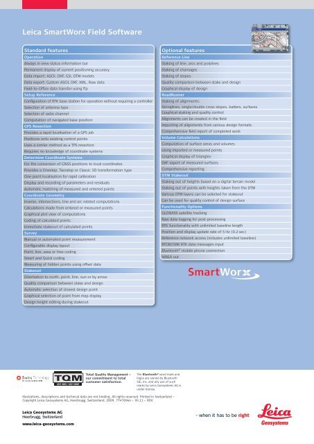
<strong>Leica</strong> SmartWorx Field Software<br />
Operation<br />
Reference Line<br />
Always in view status information bar<br />
Staking of line, arcs and polylines<br />
Permanent display of current positioning accuracy<br />
Staking of chainages<br />
Data import: ASCII, DXF, GSI, DTM models<br />
Staking of slopes<br />
Data export: Custom ASCII, DXF, XML, Raw data<br />
Quality comparison between stake and design<br />
Field-to-Office data transfer using ftp<br />
Graphical display of design<br />
Setup Reference<br />
RoadRunner<br />
Configuration of RTK base station for operation without requiring a controller Staking of alignments:<br />
Selection of antenna type<br />
Stringlines, single/double cross slopes, batters, surfaces<br />
Selection of radio channel<br />
Graphical staking and quality control<br />
Computation of navigated base position<br />
Alignments can be created in the field<br />
GPS Resection<br />
Importing of alignments from various design formats<br />
Provides a rapid localisation of a GPS job<br />
Comprehensive field report of completed work<br />
Positions onto existing control points<br />
Volume Calculations<br />
Uses a similar method as a TPS resection<br />
Computation of surface areas and volumes<br />
Requires no knowledge of coordinate systems<br />
Using imported or measured points<br />
Determine Coordinate Systems<br />
Graphical display of triangles<br />
For the conversion of <strong>GNSS</strong> positions to local coordinates<br />
DXF export of measured surfaces<br />
Provides a Onestep, Twostep or Classic 3D transformation type<br />
Comprehensive reporting<br />
One point localisation for rapid calibration<br />
DTM Stakeout<br />
Display and recording of parameters and residuals<br />
Staking out of heights based on a digital terrain model<br />
Automatic matching of measured and entered points<br />
Staking out of points with heights taken from the DTM<br />
Coordinate Geometry<br />
Various DTM layers can be selected for stakeout<br />
Inverse, intersections, line and arc related computations<br />
Can be used for quality control of design surface<br />
Calculations made from entered or measured points<br />
Functionality Options<br />
Graphical plot view of computations<br />
GLONASS satellite tracking<br />
Coding of calculated points<br />
Raw data logging for post-processing<br />
Immediate stakeout of calculated points<br />
RTK functionality with unlimited baseline length<br />
Survey<br />
Position and display update rate of 5 Hz (0.2 sec)<br />
Manual or automated point measurement<br />
Reference network access (includes unlimited baseline)<br />
Configurable display layout<br />
RTCM/CMR RTK data messages input<br />
Point, line, area or free coding<br />
Bluetooth<br />
Smart and Quick coding<br />
Measuring of hidden points using offset data<br />
Stakeout<br />
Orientation to north, point, line, sun or by arrow<br />
Quality comparison between stake and design<br />
Automatic selection of closest design point<br />
Graphical selection of point from map display<br />
Design height editing during stakeout<br />
® Standard features Optional features<br />
mobile phone connection<br />
NMEA out<br />
Illustrations, descriptions and technical data are not binding. All rights reserved. Printed in Switzerland –<br />
Copyright <strong>Leica</strong> Geosystems AG, Heerbrugg, Switzerland, 2009. 774769en – VII.11 – RDV<br />
<strong>Leica</strong> Geosystems AG<br />
Heerbrugg, Switzerland<br />
www.leica-geosystems.com<br />
Total Quality Management –<br />
our commitment to total<br />
customer satisfaction.<br />
The Bluetooth ® word mark and<br />
logos are owned by Bluetooth<br />
SIG, Inc. and any use of such<br />
marks by <strong>Leica</strong> Geosystems AG is<br />
under license.