Download PDF: Issue 63 - New Zealand Fire Service
Download PDF: Issue 63 - New Zealand Fire Service
Download PDF: Issue 63 - New Zealand Fire Service

You also want an ePaper? Increase the reach of your titles
YUMPU automatically turns print PDFs into web optimized ePapers that Google loves.
Vital input to maps and data<br />
The Data and Spatial Intelligence (DSI) team helped plug<br />
the information gap opened up by the earthquake. Staff<br />
worked out of the National Crisis Management Centre<br />
(NCMC) at the Beehive, providing support for the<br />
Ministry of Civil Defence and Emergency Management<br />
and NZFS NHQ. They were also deployed to the<br />
Emergency Operations Centre (EOC) in Christchurch.<br />
Manager Data and Spatial Intelligence, Stuart Waring,<br />
said for the first few days the <strong>Fire</strong> <strong>Service</strong> provided ICAD<br />
and emergency services operational data to the NCMC<br />
so they could see what incidents <strong>Fire</strong>, Police and<br />
Ambulance were responding to which helped the civil<br />
defence response. “Within the first four hours we had<br />
delivered Canterbury Region incident maps to the<br />
NCMC, by Tuesday we had delivered NZ Defence Force<br />
immediate tasking satellite imagery and NZ Aerial<br />
The <strong>New</strong> <strong>Zealand</strong> <strong>Fire</strong> <strong>Service</strong> Magazine<br />
Earthquake <strong>New</strong>s<br />
Mapping aerial photography to the Canterbury EOCs,<br />
along with radar data that showed terrain displacement.<br />
By Wednesday, in support of Ministry of Civil Defence<br />
and Emergency Management (MCDEM) and the EOCs,<br />
we had helped set up data sharing and standardisation<br />
of building assessment data between the three different<br />
councils and regional council, which allowed all<br />
responding agencies to see a common operating picture.”<br />
By drawing on all the data available the different agencies<br />
were able to help each other out and provide MCDEM<br />
and Ministers with a comprehensive picture of what was<br />
happening. It also allowed agencies easy access to each<br />
other’s information. For instance, SMS information could<br />
be searched to find building information on keyholders<br />
that the council didn’t have. Or ICAD and SMART maps<br />
could be used to find the names of buildings and/or<br />
addresses when building assessment sheets were returned<br />
from the field with only a business name for identification.<br />
“It was a great team effort and everyone involved played<br />
an important role in supporting MCDEM and NZFS<br />
operations,” said Stuart.<br />
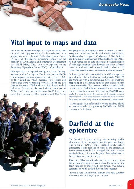
Darfield at the<br />
epicentre<br />
The Darfield brigade was up and running within<br />
20 minutes of the earthquake and the pace was hectic.<br />
The town of 1,500 people escaped fairly lightly<br />
considering it was near the epicentre of the earthquake.<br />
Seven homes were badly damaged but most escaped<br />
relatively lightly. Like other brigades, they pulled down a<br />
lot of chimneys in the first week.<br />
Chief <strong>Fire</strong> Office Alan Kittely said for the first day or so<br />
the station became a gathering place for members and<br />
their families as many had lost power. “We have a<br />
generator so we all cooked there and ate together.”<br />
“It was a very violent event. Anyone who tells you they<br />
were not scared is lying to you,” he said.<br />
October 2010<br />
5