Prof. Dr.-Ing. habil. Jochen Schiewe - Geomatik-hamburg.de
Prof. Dr.-Ing. habil. Jochen Schiewe - Geomatik-hamburg.de
Prof. Dr.-Ing. habil. Jochen Schiewe - Geomatik-hamburg.de

Create successful ePaper yourself
Turn your PDF publications into a flip-book with our unique Google optimized e-Paper software.
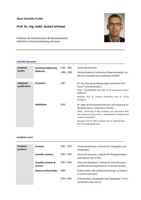
Short Scientific <strong>Prof</strong>ile<br />
<strong>Prof</strong>. <strong>Dr</strong>.-<strong>Ing</strong>. <strong>habil</strong>. <strong>Jochen</strong> <strong>Schiewe</strong><br />
<strong>Prof</strong>essor for Geoinformatics & Geovisualization<br />
HafenCity University Hamburg, Germany<br />
Scientific Education<br />
Aca<strong>de</strong>mic<br />
studies<br />
Surveying Engineering<br />
(Diploma)<br />
1985...1991 University Hannover<br />
1988...1989 Visiting Stu<strong>de</strong>nt at University of New Brunswick, Fre<strong>de</strong>ricton<br />
(Canada) with scholarship of DAAD<br />
Additional<br />
qualifications<br />
Promotion 1997 <strong>Dr</strong>.-<strong>Ing</strong>. (Surveying Engineering) at University Hannover<br />
(“with distinction”)<br />
Thesis: "Geo-Mo<strong>de</strong>ling with data of the space-borne sensor<br />
MOMS-02“<br />
Reviewer: <strong>Prof</strong>. <strong>Dr</strong>. Konecny (Hannover), <strong>Prof</strong>. <strong>Dr</strong>. Fritsch<br />
(Stuttgart)<br />
Habilitation 2002 <strong>Dr</strong>. <strong>habil</strong>. (Environmental Sciences, with emphasis on<br />
Geoinformatics), University of Vechta<br />
Thesis: „Processing of high resolution and multi-sensor data<br />
from remote sensing systems – Development of methods and<br />
transfer to education”<br />
Reviewer: <strong>Prof</strong>. <strong>Dr</strong>. Ehlers (Vechta), <strong>Prof</strong>. <strong>Dr</strong>. Bill (Rostock),<br />
<strong>Prof</strong>. <strong>Dr</strong>. Heipke (Hannover)<br />
Aca<strong>de</strong>mic career<br />
Aca<strong>de</strong>mic<br />
positions<br />
Assistant 1991...1992 University Hannover, Institute for Cartography and<br />
Topography<br />
Scientific assistant 1992...1997 University Hannover, Institute for Photogrammetry<br />
and Engineering Surveys<br />
Scientific assistant &<br />
Lecturer<br />
1997…2004 University Osnabrück, Institute for Geoinformatics<br />
and Remote Sensing (formerly: University Vechta)<br />
Deputy professorships 2003 <strong>Prof</strong>essorship „GIS and Remote Sensing“ at University<br />
Vechta (one term)<br />
2004…2005 <strong>Prof</strong>essorship „Cartography and Topography“ at University<br />
Bonn (two terms)
Associate<br />
<strong>Prof</strong>essorship<br />
2005…2007 University Osnabrück („Außerplanmäßiger <strong>Prof</strong>essor“)<br />
<strong>Prof</strong>essorship 2007… <strong>Prof</strong>essorship „Geoinformatics & Geovisualization“ at<br />
HafenCity University Hamburg<br />
Additional information<br />
Honors 2002 Hansa-Luftbild-Preis, from Hansa Luftbild company in conjunction with<br />
Deutsche Gesellschaft für Photogrammetrie, Fernerkundung und Geoinformation<br />
(DGPF)<br />
2000 Best Paper from Young Author, from International Society for Photogrammetry<br />
and Remote Sensing (ISPRS-Congress, Amsterdam)<br />
1998 Best Poster Award, from International Society for Photogrammetry and Remote<br />
Sensing (ISPRS-Symposium, Stuttgart)<br />
1997 Special price of Victor Rizkallah-Stiftung in „appreciation of excellent scientific<br />
performance at University Hannover”<br />
1988 Special price of Minister for Science and Arts of State Lower Saxony for „exceptional<br />
stu<strong>de</strong>nt performance”<br />
Scientific<br />
activities<br />
Vice-Presi<strong>de</strong>nt: Gesellschaft für Geoinformatik (GfGI)<br />
Chair of Working Group „Education“: Deutsche Gesellschaft für Photogrammetrie, Fernerkundung<br />
und Geoinformation (DGPF)<br />
Chair of Commission „Cartography and Remote Sensing“: Deutsche Gesellschaft für Kartographie<br />
(DGfK)<br />
Co-ordinator: GIS-Ausbildungstagung<br />
Leiter: “Run<strong>de</strong>r Tisch Fernerkundung”<br />
Chair of Working Group „Landscape Mo<strong>de</strong>ling and Visualization“ (2000…2008): International<br />
Society of Photogrammetry and Remote Sensing (ISPRS)<br />
Member of Editorial Board: "Photogrammetrie-Fernerkundung-Geoinformation (PFG)"<br />
Memberships in various scientific organizations (e.g., ASPRS, GfGI, DGPF, DGfK, GiN, DDGI).