World Stress Map Conference - International Lithosphere Program ...
World Stress Map Conference - International Lithosphere Program ...
World Stress Map Conference - International Lithosphere Program ...

You also want an ePaper? Increase the reach of your titles
YUMPU automatically turns print PDFs into web optimized ePapers that Google loves.
3 rd <strong>World</strong> <strong>Stress</strong> <strong>Map</strong> <strong>Conference</strong>, 15.-17. October 2008 in Potsdam<br />
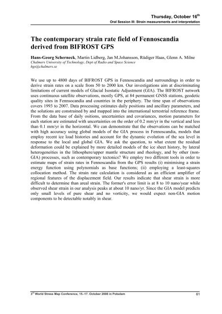
Thursday, October 16 th<br />
Oral Session III: Strain measurements and interpretation<br />
The contemporary strain rate field of Fennoscandia<br />
derived from BIFROST GPS<br />
Hans-Georg Scherneck, Martin Lidberg, Jan M.Johansson, Rüdiger Haas, Glenn A. Milne<br />
Chalmers University of Technology, Dept of Radio and Space Science<br />
hgs@chalmers.se<br />
We use up to 4800 days of BIFROST GPS in Fennoscandia and surroundings in order to<br />
derive strain rates on a scale from 50 to 2000 km. Our investigations aim at discriminating<br />
limitations of current models of Glacial Isostatic Adjustment (GIA). The BIFROST network<br />
uses continuous satellite observations, mostly GPS, at 84 permanent GNSS stations, geodetic<br />
quality sites in Fennsocandia and countries in the periphery. The time span of observations<br />
covers 1993 to 2007. Data processing estimates daily positions and ancillary parameters, and<br />
the solutions are constrained by and mapped into the international terrestrial reference frame.<br />
From the data base of daily ositions, uncertainties and covariances, motion parameters for<br />
each station are estimated with uncertainties on the order of 0.2 mm/yr in the vertical and less<br />
than 0.1 mm/yr in the horizontal. We can demonstrate that the observations can be matched<br />
with high accuracy using global models of the GIA process in Fennoscandia, models that<br />
employ recent ice load histories and account for the dynamic evolution of the sea level in<br />
response to the local and global GIA. We ask the question, to what extent the residual<br />
deformation could be explained by more detailed models of the ice sheet history, by lateral<br />
heterogeneities in the lithosphere/upper mantle structure and rheology, and by other (non-<br />
GIA) processes, such as contemporary tectonics? We employ two different tools in order to<br />
estimate maps of strain rates in Fennoscandia from the GPS results (i) minimising a strain<br />
energy function using polynomials as base functions; (ii) employing a least-squares<br />
collocation method. The strain rate calculation is considered as an efficient amplifier of<br />
regional features of the displacement field. Our results indicate that shear strain is more<br />
difficult to determine than areal strain. The former's error limit is at 8 to 10 nano/year while<br />
observed shear strain in our analysis peaks at about 10 nano/yr. Since the GIA model predicts<br />
only small levels of pure shear and no vorticity, we would expect non-GIA motion<br />
components to be detectable notably in shear.<br />
61