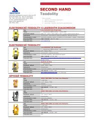
Leica 3D Disto Recreating the real world - Geotech
Leica 3D Disto Recreating the real world - Geotech
Leica 3D Disto Recreating the real world - Geotech

You also want an ePaper? Increase the reach of your titles
YUMPU automatically turns print PDFs into web optimized ePapers that Google loves.
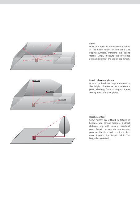
Level<br />
Mark and measure <strong>the</strong> reference points<br />
at <strong>the</strong> same height on <strong>the</strong> walls and<br />
sloping surfaces. Installing e.g. ceiling<br />
tracks: Simply measure <strong>the</strong> reference<br />
point and point at <strong>the</strong> stakeout position.<br />
+4,200m<br />
+1,000m<br />
Level reference plates<br />
Attach <strong>the</strong> level markings and measure<br />
<strong>the</strong> height differences to a reference<br />
point. Ideal e.g. for attaching and transferring<br />
level reference plates.<br />
+1,000m<br />
Height control<br />
Some heights are difficult to determine<br />
because you cannot measure a direct<br />
distance, e.g. with trees or overhead<br />
power lines in <strong>the</strong> way. Just measure one<br />
point on <strong>the</strong> floor and turn <strong>the</strong> instrument<br />
towards <strong>the</strong> target point. The<br />
height is calculated.