pakistan geographical review 1954 - University of the Punjab
pakistan geographical review 1954 - University of the Punjab
pakistan geographical review 1954 - University of the Punjab
You also want an ePaper? Increase the reach of your titles
YUMPU automatically turns print PDFs into web optimized ePapers that Google loves.
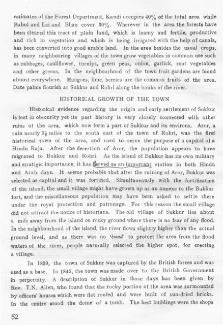
estimates <strong>of</strong> <strong>the</strong> Forest Department, Kandi occupies 40% <strong>of</strong> <strong>the</strong> total area while<br />
Babul and Lai and Bhan cover 30%. Wherever in <strong>the</strong> area <strong>the</strong> forests have<br />
been cleared this tract <strong>of</strong> plain land, which is loamy and fertile, productive<br />
and rich in vegetation and which is being irrigated with <strong>the</strong> help <strong>of</strong> canals,<br />
has been converted into good arable land. In <strong>the</strong> area besides <strong>the</strong> usual crops,<br />
in many neighbouring villages <strong>of</strong> <strong>the</strong> town grow vegetables in common use such<br />
as cabbages, cauliflower, turnips, green peas, onion, garlick, root vegetables<br />
and o<strong>the</strong>r greens. In <strong>the</strong> neighbourhood <strong>of</strong> <strong>the</strong> town fruit gardens are found<br />
almost everywhere. Mangoes, lime, berries are <strong>the</strong> common fruits <strong>of</strong> <strong>the</strong> area.<br />
Date palms flourish at Sukkur and Rohri along <strong>the</strong> banks <strong>of</strong> <strong>the</strong> river.<br />
HISTORICAL GROWTH OF THE TOWN<br />
Historical evidence regarding <strong>the</strong> origin and early settlement <strong>of</strong> Sukkur<br />
is lost in obscurity yet its past history is very closely connected with o<strong>the</strong>r<br />
ruins <strong>of</strong> <strong>the</strong> area, which now form a part <strong>of</strong> Sukkur and its environs. Aror, a<br />
ruin nearly 3! miles to <strong>the</strong> south east <strong>of</strong> <strong>the</strong> town <strong>of</strong> Rohri, was <strong>the</strong> first<br />
historical town <strong>of</strong> <strong>the</strong> area, and used to serve <strong>the</strong> purpose <strong>of</strong> a capital <strong>of</strong> a<br />
Hindu Raja. After <strong>the</strong> desertion <strong>of</strong> Aror, <strong>the</strong> population appears to have<br />
migrated to Bukkur and Rohri. As <strong>the</strong> island <strong>of</strong> Bukkur has its own military<br />
and stratigic importance, it has ~rved as an importanJ:. station in both Hindu<br />
and Arab days. It seems probable that after <strong>the</strong> ruining <strong>of</strong> Aror, Bukkur was<br />
selected as capital and it was fortified. Simultaneously with <strong>the</strong> fortification<br />
<strong>of</strong> <strong>the</strong> island, <strong>the</strong> small village might have grown up as an annexe to <strong>the</strong> Bukkur<br />
fort, and <strong>the</strong> miscellaneous population may have been asked to sett le <strong>the</strong>re<br />
under <strong>the</strong> royal protection and patronage. For this reason <strong>the</strong> small village<br />
did not attract <strong>the</strong> notice <strong>of</strong> historians. The old village <strong>of</strong> Sukkur lies about<br />
a mile away from <strong>the</strong> island on rocky ground where <strong>the</strong>re is no fear <strong>of</strong> any flood.<br />
In <strong>the</strong> neighbourhood <strong>of</strong> <strong>the</strong> island, <strong>the</strong> river flows slightly higher than ~he actual<br />
ground level, and as <strong>the</strong>re was no 'bund' to protect <strong>the</strong> area from <strong>the</strong> flood<br />
waters <strong>of</strong> <strong>the</strong> river, people naturally selected <strong>the</strong> higher spot, for erecting<br />
a village.<br />
In<br />
1839, <strong>the</strong> town <strong>of</strong> Sukkur was captured by <strong>the</strong> British forces and was<br />
used as a base. In 1842, <strong>the</strong> town was made over to <strong>the</strong> British Government<br />
in perpetuity. A description <strong>of</strong> Sukkur in those days has been given by<br />
Rev. T.N. Allen, who found that <strong>the</strong> rocky portion <strong>of</strong> <strong>the</strong> area was surmounted<br />
by <strong>of</strong>ficers' houses which were flat ro<strong>of</strong>ed and were built <strong>of</strong> sun-dried bricks.<br />
In <strong>the</strong> centre stood <strong>the</strong> dome <strong>of</strong> a tomb. The best buildings were <strong>the</strong> shops


