Malawi: A Country Profile - Selected demo-, socio-econ data
Malawi: A Country Profile - Selected demo-, socio-econ data
Malawi: A Country Profile - Selected demo-, socio-econ data

Create successful ePaper yourself
Turn your PDF publications into a flip-book with our unique Google optimized e-Paper software.
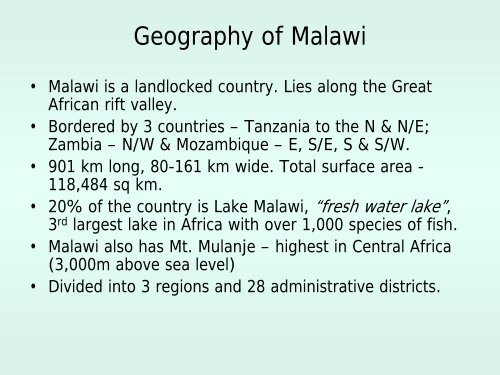
Geography of <strong>Malawi</strong><br />
• <strong>Malawi</strong> is a landlocked country. Lies along the Great<br />
African rift valley.<br />
• Bordered by 3 countries – Tanzania to the N & N/E;<br />
Zambia – N/W & Mozambique – E, S/E, S & S/W.<br />
• 901 km long, 80-161 km wide. Total surface area -<br />
118,484 sq km.<br />
• 20% of the country is Lake <strong>Malawi</strong>, “fresh water lake”,<br />
3 rd largest lake in Africa with over 1,000 species of fish.<br />
• <strong>Malawi</strong> also has Mt. Mulanje – highest in Central Africa<br />
(3,000m above sea level)<br />
• Divided into 3 regions and 28 administrative districts.