Presentation - Conferences
Presentation - Conferences
Presentation - Conferences

Create successful ePaper yourself
Turn your PDF publications into a flip-book with our unique Google optimized e-Paper software.
University of Education Heidelberg<br />
Department of Geography<br />
Research Group for Earth Observation<br />
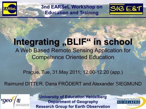
3nd EARSeL Workshop on<br />
Education and Training<br />
Integrating „BLIF“ in school<br />
A Web Based Remote Sensing Application for<br />
Competence Oriented Education<br />
Prague, Tue, 31.May 2011; 12.00-12.20 (app.)<br />
Raimund DITTER, Dana FRÖDERT and Alexander SIEGMUND
Outline<br />
1. About BLIF: Conception and Evaluation<br />
2. Live <strong>Presentation</strong> of the software<br />
3. BLIF in school<br />
Raimund Ditter; Dana Frödert and Alexander Siegmund
Educational Standards<br />
Standards for the competence area<br />
"Spatial Orientation“<br />
(Area of competence 2)<br />
"Acquisition of Knowledge/ Methodology“<br />
(Area of competence 3)<br />
"Evaluation"<br />
(Area of competence 5)<br />
Raimund Ditter; Dana Frödert and Alexander Siegmund
Software<br />
Evaluation<br />
Conception of BLIF<br />
Learning benefits<br />
Basic functions<br />
Software Functions<br />
Image enhancement<br />
Image analysis<br />
Image classification<br />
Open mode<br />
Assisted mode<br />
Conception of BLIF<br />
Analysis RS software<br />
Requirements<br />
Didactical<br />
principles<br />
Software<br />
functions<br />
Raimund Ditter; Dana Frödert and Alexander Siegmund
Homepage<br />
www.blif.de<br />
available from summer 2011<br />
Raimund Ditter; Dana Frödert and Alexander Siegmund
Conception of BLIF<br />
Menu Bar<br />
Graphical<br />
User Interface<br />
Area of interest<br />
Processing Frame<br />
Assistant „Lewis“<br />
Raimund Ditter; Dana Frödert and Alexander Siegmund
Geographical Problem (1)<br />
Fig. Ass. BanaFair (www.banafair.de)<br />
„In the Koran, the Banana plant is mentioned as a tree of<br />
paradise, but international companies enhance their areas of<br />
banana plantations continuously and are transforming the tree<br />
of paradise to a tree of hell.”<br />
(Eduardo Galeano: Die offenen Adern Lateinamerikas)<br />
Raimund Ditter; Dana Frödert and Alexander Siegmund
Selecting Area of Interest (2)<br />
Select the testing area of the city<br />
Matina (northwest of seaport<br />
Limon)<br />
(X (Pixel): 604; Y(Pixel):291).<br />
(Drag frame over the testing area<br />
and klick „cut“)<br />
Raimund Ditter; Dana Frödert and Alexander Siegmund
Image Enhancement (3)<br />
Look at the histogram of each band<br />
and stretch each of it.<br />
The displayed testing area appears<br />
more clearly and rich in contrast<br />
Raimund Ditter; Dana Frödert and Alexander Siegmund
Band Composite (4)<br />
Analyze the testing area.<br />
Choose different band composites for the selected<br />
satellite image:<br />
a)Which landscape elements are you able to identify?<br />
b)Which elements can not clearly be identified? Discuss<br />
with your classmate!<br />
c)Differ between “natural elements” and “man made<br />
elements”.<br />
Which band combination is suited for highlighting:<br />
- Rain forest and its vitality<br />
- Plantations<br />
- Areas of deforestation<br />
- Surface water bodies<br />
- settlements<br />
Raimund Ditter; Dana Frödert and Alexander Siegmund
Unsupervised Clustering (5)<br />
Generate an „unsupervised clustering“. Change the<br />
number of classes and evaluate the results.<br />
Raimund Ditter; Dana Frödert and Alexander Siegmund
Supervised Classification (6)<br />
Generate a „supervised classification“. Previously<br />
consider the number of classes you will need. Name each<br />
class and give specific colours.<br />
Evaluate the results regarding:<br />
-Quality of classification<br />
- Possible reasons for classification gaps<br />
Raimund Ditter; Dana Frödert and Alexander Siegmund
Land Use Cover - Change Detection 1986 - 2001 (7)<br />
a)Open the Landsat-satellite image<br />
elp015r053_7t20010615.tar.gz<br />
b)Choose the identical testing area and repeat the exercises<br />
2.) to 6.)<br />
c)Compare the generated land use maps from the years 1986<br />
and 2001. In which class did you discover most significant<br />
changes?<br />
d)Explain by using your results the following statement:<br />
„Multinational companies enhance their areas of banana<br />
plantations continously and are transforming the tree of<br />
paradise to a tree of hell.“<br />
Raimund Ditter; Dana Frödert and Alexander Siegmund
Raimund Ditter; Dana Frödert and Alexander Siegmund<br />
Learning Material
BLIF Exercises “Topic: Agriculture”<br />
Shrimp- Farming<br />
in Honduras<br />
Traditional Farming<br />
vs. Greenhouse Cultivation<br />
(Westland, Almeria)<br />
Winegrowing<br />
in SA/ Germany<br />
Irrigation by Flooding<br />
(Mexicali, Murcia, Oasis of Liwa,<br />
Egypt)<br />
Banana Plantation<br />
in Costa Rica<br />
Raimund Ditter; Dana Frödert and Alexander Siegmund
3nd EARSeL Workshop on<br />
Education and Training<br />
Integrating BLIF in school<br />
A Web Based Remote Sensing Application for Competence<br />
Oriented Education<br />
Thank you for your attention!<br />
Prague, 31. May 2011<br />
Raimund DITTER, Dana FRÖDERT and Alexander SIEGMUND<br />
Raimund Ditter; Dana Frödert and Alexander Siegmund<br />
University of Education Heidelberg<br />
Department of Geography<br />
Research Group for Earth Observation