

Nordic-Light-Jun2014-Aug2014
Nordic-Light-Jun2014-Aug2014
Nordic-Light-Jun2014-Aug2014

You also want an ePaper? Increase the reach of your titles
YUMPU automatically turns print PDFs into web optimized ePapers that Google loves.
Sustainable exploration<br />
in the equatorial margin<br />
By Guilherme Mendes<br />
Innovation Norway – Rio Office<br />
of the entire Brazilian coast, and Petrobras, BP and<br />
OGPar are among the companies involved.<br />
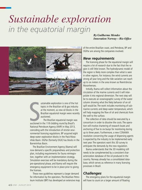
Sustainable exploration is one of the hot<br />
topics in the Brazilian oil & gas industry<br />
at the moment, as new oil blocks in the<br />
Brazilian equatorial margin were recently<br />
auctioned.<br />
The Brazilian equatorial margin was<br />
auctioned in the 11th bidding round by Brazil’s<br />
National Petroleum Agency (ANP) in May 2013,<br />
coinciding with the introduction of stricter environmental<br />
licensing regulations. BP acquired eight<br />
deep-water exploration blocks in the Pará-Maranhão<br />
Basin. OGPar (formerly OGX) has blocks in the<br />
Barreirinhas Basin.<br />
The Brazilian Environment Agency (Ibama) will<br />
now demand a specific preparedness and protection<br />
plan, including requirements for fauna reintegration,<br />
together with an implementation strategy.<br />
Simulation exercises will be mandatory during the<br />
pre-operational phase, and Ibama will require the<br />
emergency equipment to be in place prior to giving<br />
the licenses.<br />
These new guidelines represent a larger demand<br />
for information by the operators. The Brazilian Petroleum<br />
Institute (IBP) has developed an extensive map<br />
New requirements<br />
The licensing phase for the equatorial margin will<br />
require a lot of research due to the fact that the region<br />
is still little known. The hydrodynamic model of<br />
the region is likely more complex than what is seen<br />
in other regions. For instance, the wind currents are<br />
strong all year long and the tide variation can reach<br />
up to six meters in the area known as Reentrâncias<br />
Maranhenses.<br />
Initially, Ibama will collect information about the<br />
circulation of the marine currents and it will interpolate<br />
it into regional dimension. The next step will<br />
be to execute an oceanographic survey of the water<br />
column showing what the likely behavior of an oil<br />
spill would be. The work includes monitoring of submarine<br />
currents and deep-water temperature, which<br />
will help mapping the flow of oil and chemicals from<br />
the well to the surface.<br />
The collection of data should be executed by a<br />
consortium in order to dissolve the costs. The operation<br />
will involve chartering of research boats and<br />
anchoring of five to six buoys for monitoring during<br />
up to three years. Furthermore, a new CONAMA<br />
resolution concerning the usage of dispersing agents<br />
is expected by the industry to be implemented early<br />
next year. The operators want this 3D survey to<br />
anticipate the demands by the new regulation.<br />
Ibama understands that the 3D modeling still<br />
needs to be complemented by a consistent characterization<br />
database of the oil produced in the<br />
country. Norway already has a consolidated database,<br />
which serves as reference in many licensing<br />
processes in Brazil.<br />
Challenges<br />
The emergency plans for the equatorial margin<br />
will have to count on a larger amount of floating<br />
42 JUNE - AUGUST 2014