INDIAN NOTICES TO MARINERS - National Hydrographic Office
INDIAN NOTICES TO MARINERS - National Hydrographic Office
INDIAN NOTICES TO MARINERS - National Hydrographic Office
Create successful ePaper yourself
Turn your PDF publications into a flip-book with our unique Google optimized e-Paper software.
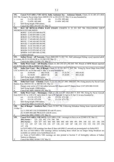
5. 2<br />
151. Cancel NAVAREA VIII 142/12. India Andaman Sea – Andaman Islands. Charts 33 41 405 473 4030<br />
INT 706. Firing by Naval ships from 240830 UTC to 241230 UTC Mar 12 in area bounded by:<br />
(a) 11-15N 092-35E (b) 11-15N 092-46E<br />
(c) 11-05N 092-46E (d) 11-05N 092-35E<br />
2. Safe flying height 5500 metres.<br />
3. Cancel this MSG 241330 UTC Mar 12.<br />
152. BAY OF BENGAL-INDIA EAST COAST. CHARTS 31 32 391 INT 706. FOLLOWING ADCP<br />
MOORINGS ESTABLISHED<br />
BOPS3 12-01.82N 080-08.07E<br />
BOPD3 12-00.96N 080-12.28E<br />
BOKD3 16-27.09N 082-36.51E<br />
BOVS3 17-49.04N 083-58.88E<br />
BSVS2 17-08.16N 082-59.59E<br />
BOVD2 17-44.60N 084-00.99E<br />
BSGS2 18-38.76N 084-47.28E<br />
BOGS4 19-24.72N 085-41.62E<br />
BOGD4 19-22.85N 085-47.23E<br />
BNBD4 19-03.80N 088-55.94E<br />
2. Caution advised.<br />
153. Indian Ocean – off Tanzania. Charts 8008 INT 71 INT 701. Half submerged fishing vessel reported adrift<br />
in vicinity 08-59.1S 039-46.9E at 191508 UTC Mar 12.<br />
2. Cancel this MSG 221508 UTC Mar 12.<br />
154. India West Coast – off Dwarka. Charts 21 202 252 271 292 INT 705. Wreck of MFB Maruti reported<br />
22-10.76N 068-13.50E at 200945 UTC Mar 12.<br />
155. India East Coast – Bay of Bengal. Charts 31 32 391 INT 71 INT 706. Firing by Naval Ships from 0300<br />
UTC to 0830 UTC on 30 Mar and 31 Mar 12 in area bounded by:<br />
(a) 16-09.0N 083-59.0E (b) 15-26.5N 084-44.0E<br />
(c) 14-38.0N 084-07.5E (d) 15-20.0N 083-24.0E<br />
2. Safe flying height 10000 metres.<br />
3. Cancel this MSG 310930 UTC Mar 12.<br />
156. India East Coast – Chennai. Charts 32 33 313 356 357 3001 3004 INT 706. Firing practice by Naval Coast<br />
Battery from 300530 UTC to 300730 UTC Mar 12.<br />
2. Danger zone sector of 11 nm radius between 045 degree and 075 degree from 13-07.02N 080-18.01E<br />
3. Safe flying height 12800 metres.<br />
4. Cancel this MSG 300830 UTC Mar 12.<br />
157. India West Coast – Mormugao. Chart 22 214 215 257 2022 INT 71 INT 706. Firing by Naval Aircraft<br />
from 0230 UTC to 1230 UTC daily from 01 Apr to 07 Apr and 14 Apr to 21 Apr 12 in area bounded by:<br />
(a) 15-13N 073-57E (b) 15-13N 073-52E<br />
(c) 15-11N 073-52E (d) 15-11N 073-57E<br />
2. Safe flying height 3500 metres.<br />
3. Cancel this MSG 211330 UTC Apr 12.<br />
158. Bay of Bengal – Southern Part. Charts 33 INT 706. Following Srilankan fishing boats reported adrift on<br />
19 Mar 12:<br />
(a) 11-30N 087-33E EVERSHINE III with 05 crews.<br />
(b) 10-40N 084-46E PRAGATI with 06 crews.<br />
2. Cancel this MSG 250001 UTC Mar 12.<br />
159. Cancel NAVAREA VIII 143/12. NAVAREA VIII – messages in force as on 221005 UTC Mar 12:<br />
2011 Series: - 225 228 442 574 596 708<br />
2012 Series: - 024 037 043 066 068 080 088 089 090 091 099 100 102 103 106 109<br />
113 121 125 127 128 134 136 137 138 141 145 147 148 151 152 153 154 155 156<br />
157 158<br />
(a) NAVAREA VIII warnings less than 42 days old (080/12 onward) are promulgated via SafetyNET.<br />
(b) Text of NAVAREA VIII warnings inforce including those which are no longer being broadcast are<br />
available on website www.hydrobharat.nic.in<br />
(c) Texts of NAVAREA VIII warnings are also printed in Section V of fortnightly editions of Indian<br />
Notices to Mariners.<br />
2. Cancel this MSG 301001 UTC Mar 12.


