1 agreement for amendment to and assignment of yavapai county ...
1 agreement for amendment to and assignment of yavapai county ...
1 agreement for amendment to and assignment of yavapai county ...

Create successful ePaper yourself
Turn your PDF publications into a flip-book with our unique Google optimized e-Paper software.
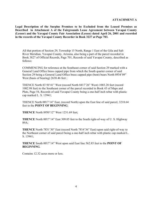
ATTACHMENT A<br />
Legal Description <strong>of</strong> the Surplus Premises <strong>to</strong> be Excluded from the Leased Premises as<br />
Described in Attachment A <strong>of</strong> the Fairgrounds Lease Agreement between Yavapai County<br />
(Lessor) <strong>and</strong> the Yavapai County Fair Association (Lessee) dated April 26, 2001 <strong>and</strong> recorded<br />
in the records <strong>of</strong> the Yavapai County Recorder in Book 3227 at Page 703.<br />
All that portion <strong>of</strong> Section 29, Township 15 North, Range 1 East <strong>of</strong> the Gila <strong>and</strong> Salt<br />
River Meridian, Yavapai County, Arizona, also being a part <strong>of</strong> the parcel recorded in<br />
Book 3827 <strong>of</strong> Official Records, Page 701, Records <strong>of</strong> said Yavapai County, described as<br />
follows:<br />
COMMENCING <strong>for</strong> reference at the Southeast corner <strong>of</strong> said Section 29 marked with a<br />
General L<strong>and</strong> Office brass capped pipe from which the South quarter corner <strong>of</strong> said<br />
Section 29 being a General L<strong>and</strong> Office brass capped pipe (bent) bears North 89۫34’09”<br />
West (basis <strong>of</strong> bearing) 2638.46 feet ;<br />
THENCE North 83۫ 50’41” West (record North 84۫17’26” West) 1003.28 feet (record<br />
1002.98 feet) <strong>to</strong> the Southeast corner <strong>of</strong> the parcel recorded in Book 43 <strong>of</strong> Maps <strong>and</strong><br />
Plats, Page 54, Records <strong>of</strong> said Yavapai County being a one-half inch rebar with plastic<br />
cap marked L. S. 13941;<br />
THENCE North 00۫17’14” East, (record North) upon the East line <strong>of</strong> said parcel, 3218.64<br />
feet <strong>to</strong> the POINT OF BEGINNING;<br />
THENCE North 89۫50’12” West 1231.69 feet;<br />
THENCE North 00۫17’14” East 309.05 feet <strong>to</strong> the South right-<strong>of</strong>-way <strong>of</strong> U. S. Highway<br />
89A;<br />
THENCE North 78۫31’30” East (record North 78۫14’36” East) upon said right-<strong>of</strong>-way <strong>to</strong><br />
the Northeast corner <strong>of</strong> said parcel being a one-half inch rebar with plastic cap marked L.<br />
S. 13941;<br />
THENCE South 00۫17’14” West upon said East line 562.85 feet <strong>to</strong> the POINT OF<br />
BEGINNING.<br />
Contains 12.32 acres more or less.<br />
4