ATBD - GHG-CCI
ATBD - GHG-CCI
ATBD - GHG-CCI

Create successful ePaper yourself
Turn your PDF publications into a flip-book with our unique Google optimized e-Paper software.
ESA Climate Change Initiative (<strong>CCI</strong>)<br />
Algorithm Theoretical Basis Document<br />
Version 2 (<strong>ATBD</strong>v2) – UoL-FP<br />
for the Essential Climate Variable (ECV)<br />
Greenhouse Gases (<strong>GHG</strong>)<br />
Page 17<br />
Version 2 – Draft 1<br />
18 March 2013<br />
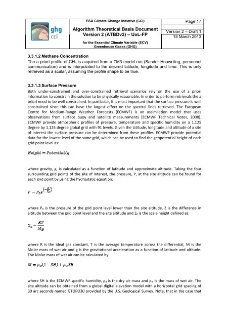
3.3.1.2 Methane Concentration<br />
The a priori profile of CH 4 is acquired from a TM3 model run (Sander Houweling, personnel<br />
communication) and is interpolated to the desired latitude, longitude and time. This is only<br />
retrieved as a scalar, assuming the profile shape to be true.<br />
3.3.1.3 Surface Pressure<br />
Both under-constrained and over-constrained retrieval scenarios rely on the use of a priori<br />
information to constrain the solution to be physically reasonable. In order to perform retrievals the a<br />
priori need to be well constrained. In particular, it is most important that the surface pressure is well<br />
constrained since this can have the largest effect on the spectral lines retrieved. The European<br />
Centre for Medium-Range Weather Forecasts (ECMWF) is an assimilation model that uses<br />
observations from surface buoy and satellite measurements [ECMWF Technical Notes, 2008].<br />
ECMWF provide atmospheric profiles of pressure, temperature and specific humidity on a 1.125<br />
degree by 1.125 degree global grid with 91 levels. Given the latitude, longitude and altitude of a site<br />
of interest the surface pressure can be determined from these profiles. ECMWF provide potential<br />
data for the lowest level of the same grid, which can be used to find the geopotential height of each<br />
grid point level as:<br />
where gravity, g, is calculated as a function of latitude and approximate altitude. Taking the four<br />
surrounding grid points of the site of interest, the pressure, P, at the site altitude can be found for<br />
each grid point by using the hydrostatic equation:<br />
where P 0 is the pressure of the grid point level lower than the site altitude, Z is the difference in<br />
altitude between the grid point level and the site altitude and Z 0 is the scale height defined as:<br />
where R is the ideal gas constant, T is the average temperature across the differential, M is the<br />
Molar mass of wet air and g is the gravitational acceleration as a function of latitude and altitude.<br />
The Molar mass of wet air can be calculated by:<br />
where SH is the ECMWF specific humidity, ρ d is the dry air mass and ρ w is the mass of wet air. The<br />
site altitude can be obtained from a global digital elevation model with a horizontal grid spacing of<br />
30 arc seconds named GTOPO30 provided by the U.S. Geological Survey. Note, that in the case that