Chapter 2 Working with topographic maps - PEGSnet
Chapter 2 Working with topographic maps - PEGSnet
Chapter 2 Working with topographic maps - PEGSnet

You also want an ePaper? Increase the reach of your titles
YUMPU automatically turns print PDFs into web optimized ePapers that Google loves.
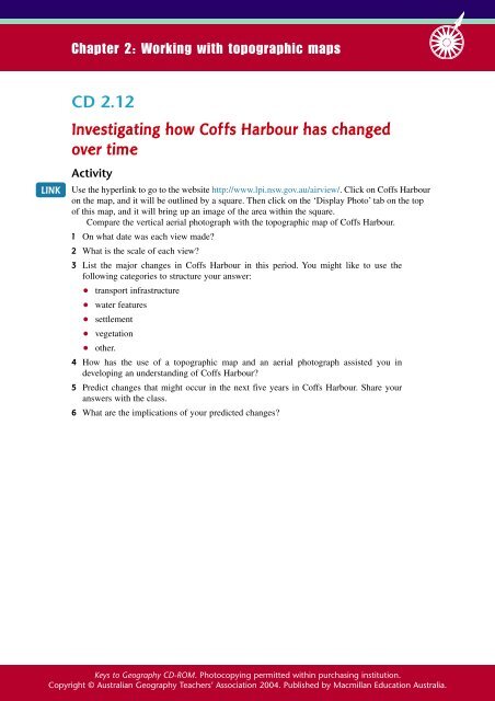
<strong>Chapter</strong> 2: <strong>Working</strong> <strong>with</strong> <strong>topographic</strong> <strong>maps</strong><br />
CD 2.12<br />
Investigating how Coffs Harbour has changed<br />
over time<br />
LINK<br />
Activity<br />
Use the hyperlink to go to the website http://www.lpi.nsw.gov.au/airview/. Click on Coffs Harbour<br />
on the map, and it will be outlined by a square. Then click on the ‘Display Photo’ tab on the top<br />
of this map, and it will bring up an image of the area <strong>with</strong>in the square.<br />
Compare the vertical aerial photograph <strong>with</strong> the <strong>topographic</strong> map of Coffs Harbour.<br />
1 On what date was each view made<br />
2 What is the scale of each view<br />
3 List the major changes in Coffs Harbour in this period. You might like to use the<br />
following categories to structure your answer:<br />
● transport infrastructure<br />
● water features<br />
● settlement<br />
● vegetation<br />
● other.<br />
4 How has the use of a <strong>topographic</strong> map and an aerial photograph assisted you in<br />
developing an understanding of Coffs Harbour<br />
5 Predict changes that might occur in the next five years in Coffs Harbour. Share your<br />
answers <strong>with</strong> the class.<br />
6 What are the implications of your predicted changes<br />
Keys to Geography CD-ROM. Photocopying permitted <strong>with</strong>in purchasing institution.<br />
Copyright © Australian Geography Teachers’ Association 2004. Published by Macmillan Education Australia.