PDF Format
PDF Format
PDF Format
You also want an ePaper? Increase the reach of your titles
YUMPU automatically turns print PDFs into web optimized ePapers that Google loves.
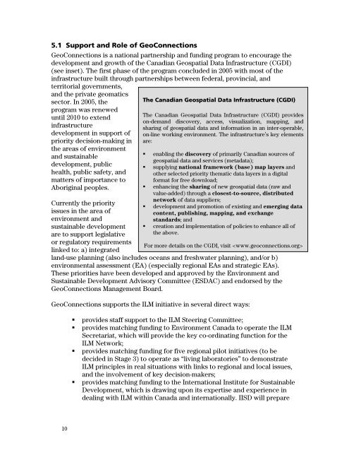
5.1 Support and Role of GeoConnections<br />
GeoConnections is a national partnership and funding program to encourage the<br />
development and growth of the Canadian Geospatial Data Infrastructure (CGDI)<br />
(see inset). The first phase of the program concluded in 2005 with most of the<br />
infrastructure built through partnerships between federal, provincial, and<br />
territorial governments,<br />
and the private geomatics<br />
sector. In 2005, the<br />
program was renewed<br />
until 2010 to extend<br />
infrastructure<br />
development in support of<br />
priority decision-making in<br />
the areas of environment<br />
and sustainable<br />
development, public<br />
health, public safety, and<br />
matters of importance to<br />
Aboriginal peoples.<br />
Currently the priority<br />
issues in the area of<br />
environment and<br />
sustainable development<br />
are to support legislative<br />
or regulatory requirements<br />
linked to: a) integrated<br />
The Canadian Geospatial Data Infrastructure (CGDI)<br />
The Canadian Geospatial Data Infrastructure (CGDI) provides<br />
on-demand discovery, access, visualization, mapping, and<br />
sharing of geospatial data and information in an inter-operable,<br />
on-line working environment. The infrastructure’s key elements<br />
are:<br />
• enabling the discovery of primarily Canadian sources of<br />
geospatial data and services (metadata);<br />
• supplying national framework (base) map layers and<br />
other selected priority thematic data layers in a digital<br />
format for free download;<br />
• enhancing the sharing of new geospatial data (raw and<br />
value-added) through a closest-to-source, distributed<br />
network of data suppliers;<br />
• development and promotion of existing and emerging data<br />
content, publishing, mapping, and exchange<br />
standards; and<br />
• creation and implementation of policies to enhance all of<br />
the above.<br />
For more details on the CGDI, visit <br />
land-use planning (also includes oceans and freshwater planning), and/or b)<br />
environmental assessment (EA) (especially regional EAs and strategic EAs).<br />
These priorities have been developed and approved by the Environment and<br />
Sustainable Development Advisory Committee (ESDAC) and endorsed by the<br />
GeoConnections Management Board.<br />
GeoConnections supports the ILM initiative in several direct ways:<br />
• provides staff support to the ILM Steering Committee;<br />
• provides matching funding to Environment Canada to operate the ILM<br />
Secretariat, which will provide the key co-ordinating function for the<br />
ILM Network;<br />
• provides matching funding for five regional pilot initiatives (to be<br />
decided in Stage 3) to operate as “living laboratories” to demonstrate<br />
ILM principles in real situations with links to regional and local issues,<br />
and the involvement of key decision-makers;<br />
• provides matching funding to the International Institute for Sustainable<br />
Development, which is drawing upon its expertise and experience in<br />
dealing with ILM within Canada and internationally. IISD will prepare<br />
10


