USGS - overview - Army Geospatial Center
USGS - overview - Army Geospatial Center
USGS - overview - Army Geospatial Center

Create successful ePaper yourself
Turn your PDF publications into a flip-book with our unique Google optimized e-Paper software.
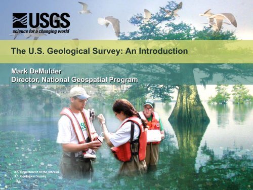
The U.S. Geological Survey: An Introduction<br />
Mark DeMulder<br />
Director, National <strong>Geospatial</strong> Program<br />
U.S. Department of the Interior<br />
U.S. Geological Survey
Nature under threat<br />
• Changing climate<br />
• Increasing population<br />
• Increasing demand for resources<br />
• Environmental degradation
Finding Balance: Advancing Sustainability
A Legacy of Science and Exploration<br />
1804-06 Lewis and Clark Across the Continent<br />
1805-07 Lt. Zebulon Pike Rocky Mountains, Pikes Peak<br />
1807 Survey of the Coast Geodesy, hydrography<br />
1819-20 Maj. Stephen Long Rocky Mountains<br />
1834-35 G. Featherstonhaugh Ozarks Mountains<br />
1839-40 David Owen Upper Miss. Valley<br />
1840s-50s Corps of Topo. Eng. Routes to Pacific<br />
1867-79 Four Surveys King, Hayden, Powell, Wheeler<br />
1879 U.S. Geological Survey Established by Congress
133 Years of <strong>USGS</strong> Science<br />
<strong>USGS</strong> established by the Organic Act of March 3, 1879,<br />
which mandated "the classification of the public lands and<br />
examination of the geological structure, mineral resources, and<br />
products of the national domain."<br />
Clarence King<br />
First <strong>USGS</strong> Director, 1879 -1881
Science is more essential for our prosperity, our<br />
security, our health, our environment, and our<br />
quality of life than it has ever been.<br />
President Obama<br />
At the National Academy of Sciences<br />
April 27, 2009