Tisdale Weir and Bypass Fact Sheet - Water Education Foundation
Tisdale Weir and Bypass Fact Sheet - Water Education Foundation
Tisdale Weir and Bypass Fact Sheet - Water Education Foundation

You also want an ePaper? Increase the reach of your titles
YUMPU automatically turns print PDFs into web optimized ePapers that Google loves.
<strong>Tisdale</strong> <strong>Weir</strong> <strong>and</strong> <strong>Bypass</strong> <strong>Fact</strong> <strong>Sheet</strong><br />
Project Limits:<br />
Characteristics:<br />
The <strong>Tisdale</strong> <strong>Weir</strong> <strong>and</strong> <strong>Bypass</strong> is located at Sacramento River Mile<br />
119 in Sutter County, about 6.3 miles downstream from the<br />
community of Grimes.<br />
The <strong>Tisdale</strong> <strong>Bypass</strong> is a key element in the Sacramento River<br />
Flood Control Project, providing a connection between the<br />
Sacramento River <strong>and</strong> the Sutter <strong>Bypass</strong>. From <strong>Tisdale</strong> <strong>Weir</strong> to<br />
Sutter <strong>Bypass</strong>, the bypass is approximately 4.5 miles in length <strong>and</strong><br />
500 feet in width.<br />
Built in 1932, the <strong>Tisdale</strong> <strong>Weir</strong> is a concrete structure 1150 feet<br />
long with a fixed-crest elevation of 45.5 feet. The north <strong>and</strong> south<br />
levee are turf-covered earthen structures, each 4.5 miles long<br />
varying in height from approximately 16 feet at the weir to<br />
approximately 21 feet at the transition to Sutter <strong>Bypass</strong>.<br />
Function:<br />
Protection:<br />
Maintenance:<br />
Under flood conditions, Sacramento River flow spills over <strong>Tisdale</strong><br />
<strong>Weir</strong> when the river’s stage reaches 45.5 feet. The Sacramento<br />
River is designed to contain 66,000 CFS above the weir <strong>and</strong> only<br />
30,000 below, thereby diverting over half of the flood waters into<br />
the bypass system at this location.<br />
The <strong>Tisdale</strong> <strong>Bypass</strong> provides flood protection to the Sutter <strong>and</strong><br />
Colusa Basins including the towns of Knights L<strong>and</strong>ing, Meridian,<br />
<strong>and</strong> Robbins; Reclamation Districts 108, 1660, <strong>and</strong> 1500; <strong>and</strong><br />
portions of State Highways 45 <strong>and</strong> 113.<br />
The Department of <strong>Water</strong> Resources operates <strong>and</strong> maintains the<br />
weir <strong>and</strong> bypass in accordance with California <strong>Water</strong> Code Section<br />
8361. Annual maintenance includes removal of debris; mowing,<br />
discing, or burning of vegetation; rodent control; tree trimming; <strong>and</strong><br />
minor erosion repair. Significant maintenance activities to maintain<br />
capacity have been performed by DWR including major erosion<br />
repairs <strong>and</strong> sediment removal. Notable sediment removal projects<br />
were performed in:<br />
• 1984 – 244,000 cubic yards (cy)<br />
• 1985 – 211,000 cy<br />
• 1986 – 1,301,000 cy<br />
• 1987 – 270,000 cy<br />
• 2007 – 1,713,000 cy
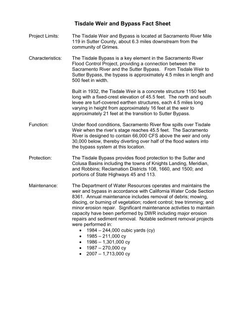
Aerial photos taken during 2007<br />
sediment removal before<br />
Garmire Bridge was replaced
Garmire Bridge <strong>Fact</strong> <strong>Sheet</strong><br />
Project Location:<br />
Length:<br />
Piers/Bents:<br />
Bridge Type:<br />
<strong>Foundation</strong>:<br />
Purpose:<br />
The old Garmire Road Bridge, built in 1935 <strong>and</strong> aligned directly<br />
over the <strong>Tisdale</strong> <strong>Weir</strong>, was demolished in 2008. The new Garmire<br />
Road Bridge is located immediately east of the original Garmire<br />
Road Bridge.<br />
1,250 feet<br />
Nine bents with 143 foot spacing<br />
Pre-stressed box girder construction<br />
Deep pipe pile footings<br />
The original Garmire Road Bridge was in service for 73 years. The<br />
30 rows of foundation bents were spaced 39 feet apart. During<br />
periods of high water, trapped debris would reduce the flow over<br />
the weir <strong>and</strong> create hazardous conditions for the structure <strong>and</strong> the<br />
maintenance crews clearing the debris.<br />
The new bridge has bents spaced 140 apart, allowing debris to<br />
pass unobstructed.<br />
Funding Source:<br />
Funding for this project is provided through a cost-share agreement<br />
by the Federal Government (FHWA via Caltrans), State of<br />
California (DWR General Fund), <strong>and</strong> the County of Sutter.<br />
DWR maintenance crew clearing<br />
debris from old bridge
DWR maintenance clearing debris<br />
from old bridge<br />
Old Garmire Road Bridge being<br />
demolished (2008)