Download 2008 Aug Newsletter - South African Geophysical ...
Download 2008 Aug Newsletter - South African Geophysical ...
Download 2008 Aug Newsletter - South African Geophysical ...
You also want an ePaper? Increase the reach of your titles
YUMPU automatically turns print PDFs into web optimized ePapers that Google loves.
www.sagaonline.co.za<br />
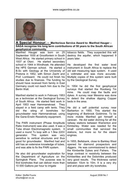
A Special Honour: - Meritorious Service Award to: Manfred Hauger –<br />
SAGA recognise his long term contributions of 50 years to the <strong>South</strong> <strong>African</strong><br />
geophysical community.<br />
Manfred Hauger was born on 25<br />
September 1930 at Grootfontein in <strong>South</strong><br />
West Africa. He started primary school in<br />
1937 at Otavi. He started secondary<br />
school in 1944 in Windhoek. He attended<br />
the HPS German school. He started a<br />
B.Sc with Geology at the University of<br />
Pretoria in 1952, with Simon Zacht and<br />
Prof. Lombaard. He could not finish his<br />
studies due to finances. The funding he<br />
should have received from family in East<br />
Germany could not reach him due to the<br />
Berlin Wall.<br />
Manfred started to work in February 1953<br />
as a technician at the Geological Survey<br />
of <strong>South</strong> Africa. He started field work in<br />
April 1953 near Hammanskraal. They<br />
stayed in a field camp with tents. They<br />
did the siting of boreholes for<br />
groundwater near Hammanskraal, using<br />
the Gane-Enslin Resistivity equipment.<br />
The PARI instrument (Phase Amplitude<br />
Ratio Instrument) was also used. It was a<br />
Tube driven Electromagnetic system. It<br />
used a round Tx loop with a 1.5kw 220V<br />
generator. This system was very<br />
sensitive to vertical structures and thus<br />
good for groundwater. Manfred had and<br />
still has an extensive knowledge of tubes,<br />
and was able to fix the PARI system.<br />
He also did groundwater exploration for<br />
the Department of Agriculture on the<br />
Springbok Plane. The purpose was to<br />
find boreholes that can deliver more than<br />
10 000 Gallons per hour to irrigate<br />
tobacco fields. They suspected this will<br />
destroy the aquifer, which happened 9<br />
years later.<br />
He developed the first water level<br />
instrument in <strong>South</strong> Africa to replace the<br />
old wet measuring tape system. It used<br />
a voltmeter and was more accurate.<br />
Multiple copies of this system were built<br />
by the Geological Survey.<br />
In 1954 he did the first geophysical<br />
surveys that started the Rooiberg Tin<br />
mine. He could map the faults and<br />
dykes. A survey near Messina was done<br />
to detect the shallow dipping Copper<br />
beds in the area.<br />
He did a self potential survey near<br />
Barberton in 1955. This started the<br />
beginning of Barbrook Goldmine. To be<br />
more mobile Manfred got himself a<br />
caravan. He did water divining for all the<br />
railway stations between Warrenton and<br />
Kimberley. Water was needed for the<br />
small communities that serviced the<br />
stations, but more so for the steam<br />
engines.<br />
In 1955, Bellsbank, close to Barkley West<br />
opened for diamond prospectors and<br />
diggers. He was commissioned to detect<br />
the Kimberlite Dykes and Fishers. The<br />
large contrast in resistivity between the<br />
Kimberlites and the Dolomites produced<br />
very good results. The thickness varied<br />
between 10cm to 10m. It is a very dry<br />
and arid place with dry boreholes.<br />
Editor: Stoffel Fourie<br />
sfourie@csir.co.za<br />
<strong>Aug</strong>ust <strong>2008</strong> No.1


