FIGHTING THE GOOD FIGHT - New Mexico Wilderness Alliance
FIGHTING THE GOOD FIGHT - New Mexico Wilderness Alliance
FIGHTING THE GOOD FIGHT - New Mexico Wilderness Alliance

Create successful ePaper yourself
Turn your PDF publications into a flip-book with our unique Google optimized e-Paper software.
getting<br />
out<br />
there<br />
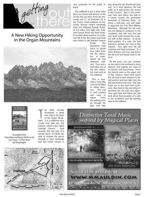
A <strong>New</strong> Hiking Opportunity<br />
in the Organ Mountains<br />
now protected for the public to<br />
enjoy.<br />
The trailhead is just a short drive<br />
from Las Cruces and there is no fee<br />
for the day use area. From the University<br />
exit #1 on Interstate 25 in<br />
Las Cruces, head northeast on University<br />
Avenue (which eventually<br />
turns into Dripping Springs Road).<br />
In 4.8 miles, turn right onto Soledad<br />
Canyon Road and head south.<br />
In another three-quarters of a mile,<br />
turn left at the fi re station and head<br />
east (which is still Soledad Canyon<br />
Road). The<br />
pavement road<br />
turns to gravel<br />
four miles from<br />
the fi re station,<br />
but is maintained<br />
for low<br />
clearance vehicles.<br />
Four and a<br />
half miles east of<br />
the fi re station,<br />
the road ends at<br />
the trailhead.<br />
This is basically<br />
a loop hike<br />
and can be hiked<br />
in either direction.<br />
The trail<br />
is well marked<br />
and easy to<br />
follow. From<br />
the parking area,<br />
go through the<br />
gate and hike<br />
east along the old abandoned jeep<br />
trail. In a short distance, the trail<br />
splits as it approaches the arroyo<br />
in Bar Canyon. Turn to the southeast<br />
here and follow the trail as<br />
it heads toward the prominent<br />
landmark of Chimney Rock. In<br />
about a half-mile, you will begin<br />
to approach the Fort Bliss Military<br />
Boundary. Although the old road<br />
you are hiking on continues to the<br />
southeast, turn left onto the trail<br />
and head north toward the northern<br />
fork of Bar Canyon. In about<br />
three-quarters of a mile, the trail<br />
intersects another old road in Bar<br />
Canyon. Turn right onto the old<br />
roadway and head northeast. In a<br />
short distance, the loop trail leaves<br />
the old road and heads back to the<br />
west.<br />
At this point, you can continue<br />
on the road to the northeast a short<br />
distance and explore the ruins of<br />
an historic rock homestead. From<br />
the historic ruins in the upper end<br />
of Bar Canyon, head back down<br />
the old road a short distance to the<br />
trail junction and turn right onto the<br />
trail and head to the west. This trail<br />
loops out to the west and southwest,<br />
then back to the east where it<br />
intersects the old road once again.<br />
Turn right here and follow the trail<br />
back about three-quarters of a mile<br />
to the southwest and the parking<br />
area at the trailhead.<br />
Excerpted from<br />
“Day Hikes and Nature Walks in the<br />
Las Cruces – El Paso Area”<br />
by Greg Magee<br />
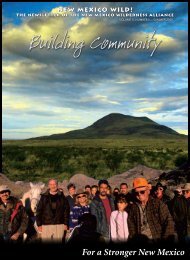
The BLM recently<br />
developed a great<br />
new trail in the heart<br />
of the Organ Mountains.<br />
It is a relatively easy<br />
3-mile loop hike into Bar<br />
Canyon, which is also called<br />
Soledad Canyon. Until<br />
recently, this was part of a<br />
private ranch, but BLM was<br />
able to acquire the parcel<br />
through a land exchange<br />
and this scenic canyon is<br />
<strong>New</strong> <strong>Mexico</strong> WILD!<br />
Page 5