WWF Shining a spotlight on the biodiversity of ... - MarineNZ.org.nz
WWF Shining a spotlight on the biodiversity of ... - MarineNZ.org.nz
WWF Shining a spotlight on the biodiversity of ... - MarineNZ.org.nz

You also want an ePaper? Increase the reach of your titles
YUMPU automatically turns print PDFs into web optimized ePapers that Google loves.
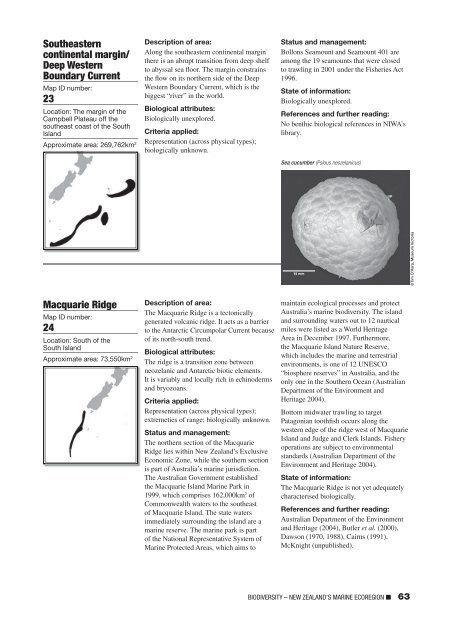
Sou<strong>the</strong>astern<br />
c<strong>on</strong>tinental margin/<br />
Deep Western<br />
Boundary Current<br />
Map ID number:<br />
23<br />
Locati<strong>on</strong>: The margin <strong>of</strong> <strong>the</strong><br />
Campbell Plateau <strong>of</strong>f <strong>the</strong><br />
sou<strong>the</strong>ast coast <strong>of</strong> <strong>the</strong> South<br />
Island<br />
Approximate area: 269,762km 2<br />
Descripti<strong>on</strong> <strong>of</strong> area:<br />
Al<strong>on</strong>g <strong>the</strong> sou<strong>the</strong>astern c<strong>on</strong>tinental margin<br />
<strong>the</strong>re is an abrupt transiti<strong>on</strong> from deep shelf<br />
to abyssal sea floor. The margin c<strong>on</strong>strains<br />
<strong>the</strong> flow <strong>on</strong> its nor<strong>the</strong>rn side <strong>of</strong> <strong>the</strong> Deep<br />
Western Boundary Current, which is <strong>the</strong><br />
biggest “river” in <strong>the</strong> world.<br />
Biological attributes:<br />
Biologically unexplored.<br />
Criteria applied:<br />
Representati<strong>on</strong> (across physical types);<br />
biologically unknown.<br />
Status and management:<br />
Boll<strong>on</strong>s Seamount and Seamount 401 are<br />
am<strong>on</strong>g <strong>the</strong> 19 seamounts that were closed<br />
to trawling in 2001 under <strong>the</strong> Fisheries Act<br />
1996.<br />
State <strong>of</strong> informati<strong>on</strong>:<br />
Biologically unexplored.<br />
References and fur<strong>the</strong>r reading:<br />
No benthic biological references in NIWA’s<br />
library.<br />
Sea cucumber (Pslous neozelanicus)<br />
©Tim O’Hara, Museum Victoria<br />
Macquarie Ridge<br />
Map ID number:<br />
24<br />
Locati<strong>on</strong>: South <strong>of</strong> <strong>the</strong><br />
South Island<br />
Approximate area: 73,550km 2<br />
Descripti<strong>on</strong> <strong>of</strong> area:<br />
The Macquarie Ridge is a tect<strong>on</strong>ically<br />
generated volcanic ridge. It acts as a barrier<br />
to <strong>the</strong> Antarctic Circumpolar Current because<br />
<strong>of</strong> its north-south trend.<br />
Biological attributes:<br />
The ridge is a transiti<strong>on</strong> z<strong>on</strong>e between<br />
neozelanic and Antarctic biotic elements.<br />
It is variably and locally rich in echinoderms<br />
and bryozoans.<br />
Criteria applied:<br />
Representati<strong>on</strong> (across physical types);<br />
extremeties <strong>of</strong> range; biologically unknown.<br />
Status and management:<br />
The nor<strong>the</strong>rn secti<strong>on</strong> <strong>of</strong> <strong>the</strong> Macquarie<br />
Ridge lies within New Zealand’s Exclusive<br />
Ec<strong>on</strong>omic Z<strong>on</strong>e, while <strong>the</strong> sou<strong>the</strong>rn secti<strong>on</strong><br />
is part <strong>of</strong> Australia’s marine jurisdicti<strong>on</strong>.<br />
The Australian Government established<br />
<strong>the</strong> Macquarie Island Marine Park in<br />
1999, which comprises 162,000km 2 <strong>of</strong><br />
Comm<strong>on</strong>wealth waters to <strong>the</strong> sou<strong>the</strong>ast<br />
<strong>of</strong> Macquarie Island. The state waters<br />
immediately surrounding <strong>the</strong> island are a<br />
marine reserve. The marine park is part<br />
<strong>of</strong> <strong>the</strong> Nati<strong>on</strong>al Representative System <strong>of</strong><br />
Marine Protected Areas, which aims to<br />
maintain ecological processes and protect<br />
Australia’s marine <strong>biodiversity</strong>. The island<br />
and surrounding waters out to 12 nautical<br />
miles were listed as a World Heritage<br />
Area in December 1997. Fur<strong>the</strong>rmore,<br />
<strong>the</strong> Macquarie Island Nature Reserve,<br />
which includes <strong>the</strong> marine and terrestrial<br />
envir<strong>on</strong>ments, is <strong>on</strong>e <strong>of</strong> 12 UNESCO<br />
“biosphere reserves” in Australia, and <strong>the</strong><br />
<strong>on</strong>ly <strong>on</strong>e in <strong>the</strong> Sou<strong>the</strong>rn Ocean (Australian<br />
Department <strong>of</strong> <strong>the</strong> Envir<strong>on</strong>ment and<br />
Heritage 2004).<br />
Bottom midwater trawling to target<br />
Patag<strong>on</strong>ian toothfish occurs al<strong>on</strong>g <strong>the</strong><br />
western edge <strong>of</strong> <strong>the</strong> ridge west <strong>of</strong> Macquarie<br />
Island and Judge and Clerk Islands. Fishery<br />
operati<strong>on</strong>s are subject to envir<strong>on</strong>mental<br />
standards (Australian Department <strong>of</strong> <strong>the</strong><br />
Envir<strong>on</strong>ment and Heritage 2004).<br />
State <strong>of</strong> informati<strong>on</strong>:<br />
The Macquarie Ridge is not yet adequately<br />
characterised biologically.<br />
References and fur<strong>the</strong>r reading:<br />
Australian Department <strong>of</strong> <strong>the</strong> Envir<strong>on</strong>ment<br />
and Heritage (2004), Butler et al. (2000),<br />
Daws<strong>on</strong> (1970, 1988), Cairns (1991),<br />
McKnight (unpublished).<br />
BIODIVERSITY – NEW ZEALAND’S MARINE ECOREGION ■ 63