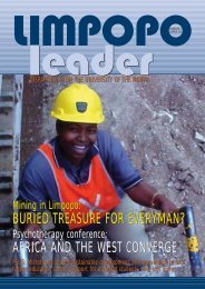
Limpopo Leader - University of Limpopo
Limpopo Leader - University of Limpopo
Limpopo Leader - University of Limpopo

You also want an ePaper? Increase the reach of your titles
YUMPU automatically turns print PDFs into web optimized ePapers that Google loves.
Turfloop To Host New<br />
Hi-Tech Regional Centre<br />
with these and more capabilities is soon to be installed on<br />
the Turfloop campus <strong>of</strong> the <strong>University</strong> <strong>of</strong> <strong>Limpopo</strong>.<br />
We’re not talking about ‘thumb sucks’ here. In the 1980s,<br />
there were supposedly computer-calculated predictions<br />
about the spread <strong>of</strong> HIV/Aids in sub-Saharan Africa which<br />
showed that most <strong>of</strong> the region would be catastrophically<br />
depopulated by the late 1990s. Other predictions, this time<br />
done on computers by reputable actuarial scientists, proved<br />
to be much more accurate, and the trends that were predicted<br />
have very much come to pass. The key explanation<br />
for the variation lies in the data that were fed into the<br />
computers in the first place. Coupled with the data was the<br />
availability <strong>of</strong> skilled human resources to programme the<br />
computers adequately and to ‘read’ the results.<br />
Sophisticated data and sophisticated expertise: that’s what<br />
the Regional Centre for Spatial Analysis and Modelling<br />
(C-SAM, for short) at Turfloop will deal in and produce.<br />
Let’s start with the data. Channelled into the Turfloop C-SAM<br />
will be a wide variety <strong>of</strong> data support from various sources:<br />
The Applied Centre for Climate and Earth System Studies<br />
(ACCESS); the South African Department <strong>of</strong> Science and<br />
Technology’s Global Change Grand Challenge Research Plan<br />
(GCGCRP); a great deal <strong>of</strong> geographical and meteorological<br />
data from EUMET in western Europe and GEONET in the<br />
Americas; the SAEON platform which hosts data from the<br />
South African Risk and Vulnerability Atlas, the South African<br />
Earth Observation system, and a prototype World Data<br />
Centre for Biodiversity and Human Health in Africa (WDCBHH);<br />
the CSIR Built Environment and Geospatial Analysis<br />
Framework (GAP-3); and the CSIR’s ‘Working for Water’<br />
project that monitors the environmental impacts, especially<br />
regarding water quality, in the areas <strong>of</strong> <strong>Limpopo</strong> province<br />
experiencing rapid mining and industrial development.<br />
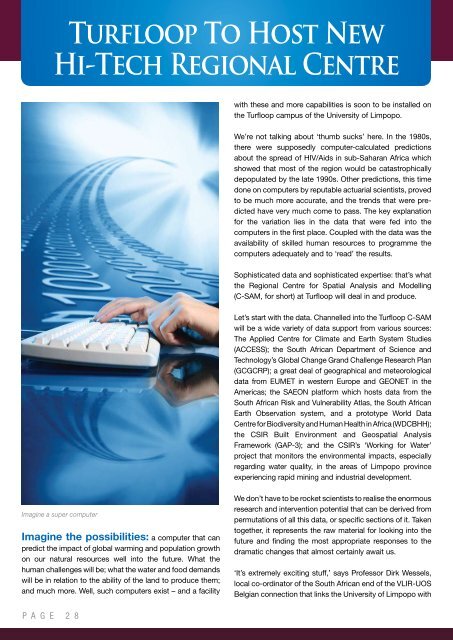
Imagine a super computer<br />
Imagine the possibilities: a computer that can<br />
predict the impact <strong>of</strong> global warming and population growth<br />
on our natural resources well into the future. What the<br />
human challenges will be; what the water and food demands<br />
will be in relation to the ability <strong>of</strong> the land to produce them;<br />
and much more. Well, such computers exist – and a facility<br />
We don’t have to be rocket scientists to realise the enormous<br />
research and intervention potential that can be derived from<br />
permutations <strong>of</strong> all this data, or specific sections <strong>of</strong> it. Taken<br />
together, it represents the raw material for looking into the<br />
future and finding the most appropriate responses to the<br />
dramatic changes that almost certainly await us.<br />
‘It’s extremely exciting stuff,’ says Pr<strong>of</strong>essor Dirk Wessels,<br />
local co-ordinator <strong>of</strong> the South African end <strong>of</strong> the VLIR-UOS<br />
Belgian connection that links the <strong>University</strong> <strong>of</strong> <strong>Limpopo</strong> with<br />
P A G E 2 8