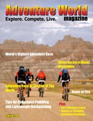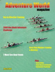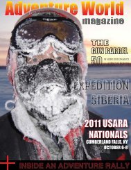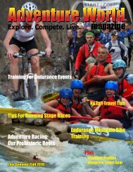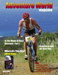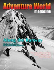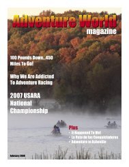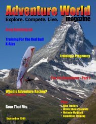
view issue - Adventure World Magazine
view issue - Adventure World Magazine
view issue - Adventure World Magazine

You also want an ePaper? Increase the reach of your titles
YUMPU automatically turns print PDFs into web optimized ePapers that Google loves.
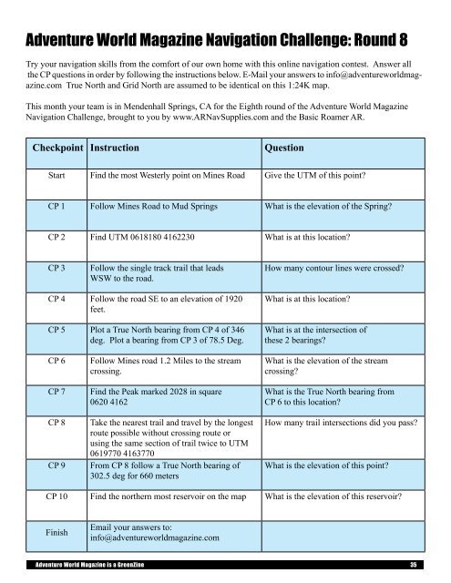
<strong>Adventure</strong> <strong>World</strong> <strong>Magazine</strong> Navigation Challenge: Round 8<br />
Try your navigation skills from the comfort of our own home with this online navigation contest. Answer all<br />
the CP questions in order by following the instructions below. E-Mail your answers to info@adventureworldmagazine.com<br />
True North and Grid North are assumed to be identical on this 1:24K map.<br />
This month your team is in Mendenhall Springs, CA for the Eighth round of the <strong>Adventure</strong> <strong>World</strong> <strong>Magazine</strong><br />
Navigation Challenge, brought to you by www.ARNavSupplies.com and the Basic Roamer AR.<br />
Checkpoint Instruction<br />
Question<br />
Start Find the most Westerly point on Mines Road Give the UTM of this point?<br />
CP 1 Follow Mines Road to Mud Springs What is the elevation of the Spring?<br />
CP 2 Find UTM 0618180 4162230 What is at this location?<br />
CP 3<br />
Follow the single track trail that leads<br />
WSW to the road.<br />
How many contour lines were crossed?<br />
CP 4 Follow the road SE to an elevation of 1920<br />
feet.<br />
CP 5 Plot a True North bearing from CP 4 of 346<br />
deg. Plot a bearing from CP 3 of 78.5 Deg.<br />
What is at this location?<br />
What is at the intersection of<br />
these 2 bearings?<br />
CP 6<br />
CP 7<br />
CP 8<br />
CP 9<br />
Follow Mines road 1.2 Miles to the stream<br />
crossing.<br />
Find the Peak marked 2028 in square<br />
0620 4162<br />
Take the nearest trail and travel by the longest<br />
route possible without crossing route or<br />
using the same section of trail twice to UTM<br />
0619770 4163770<br />
From CP 8 follow a True North bearing of<br />
302.5 deg for 660 meters<br />
What is the elevation of the stream<br />
crossing?<br />
What is the True North bearing from<br />
CP 6 to this location?<br />
How many trail intersections did you pass?<br />
What is the elevation of this point?<br />
CP 10 Find the northern most reservoir on the map What is the elevation of this reservoir?<br />
Finish<br />
Email your answers to:<br />
info@adventureworldmagazine.com<br />
<strong>Adventure</strong> <strong>World</strong> <strong>Magazine</strong> is a GreenZine 35