Biodiveristy_State of Environment report - Mission Beach Cassowaries
Biodiveristy_State of Environment report - Mission Beach Cassowaries
Biodiveristy_State of Environment report - Mission Beach Cassowaries
- No tags were found...
Create successful ePaper yourself
Turn your PDF publications into a flip-book with our unique Google optimized e-Paper software.
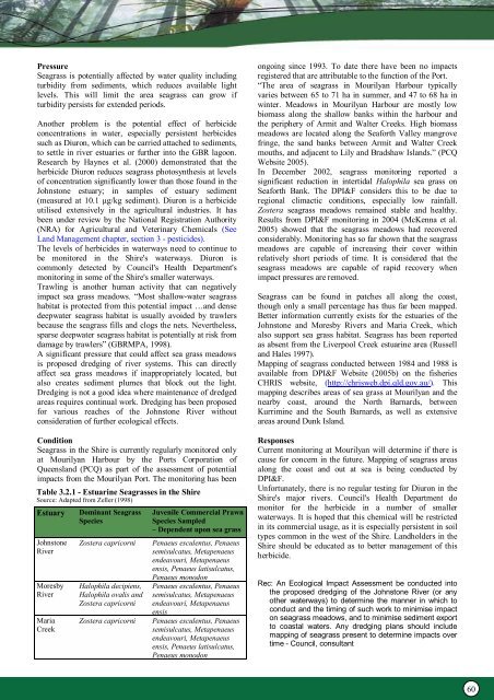
PressureSeagrass is potentially affected by water quality includingturbidity from sediments, which reduces available lightlevels. This will limit the area seagrass can grow ifturbidity persists for extended periods.Another problem is the potential effect <strong>of</strong> herbicideconcentrations in water, especially persistent herbicidessuch as Diuron, which can be carried attached to sediments,to settle in river estuaries or further into the GBR lagoon.Research by Haynes et al. (2000) demonstrated that theherbicide Diuron reduces seagrass photosynthesis at levels<strong>of</strong> concentration significantly lower than those found in theJohnstone estuary; in samples <strong>of</strong> estuary sediment(measured at 10.1 µg/kg sediment). Diuron is a herbicideutilised extensively in the agricultural industries. It hasbeen under review by the National Registration Authority(NRA) for Agricultural and Veterinary Chemicals (SeeLand Management chapter, section 3 - pesticides).The levels <strong>of</strong> herbicides in waterways need to continue tobe monitored in the Shire's waterways. Diuron iscommonly detected by Council's Health Department'smonitoring in some <strong>of</strong> the Shire's smaller waterways.Trawling is another human activity that can negativelyimpact sea grass meadows. “Most shallow-water seagrasshabitat is protected from this potential impact …and densedeepwater seagrass habitat is usually avoided by trawlersbecause the seagrass fills and clogs the nets. Nevertheless,sparse deepwater seagrass habitat is potentially at risk fromdamage by trawlers” (GBRMPA, 1998).A significant pressure that could affect sea grass meadowsis proposed dredging <strong>of</strong> river systems. This can directlyaffect sea grass meadows if inappropriately located, butalso creates sediment plumes that block out the light.Dredging is not a good idea where maintenance <strong>of</strong> dredgedareas requires continual work. Dredging has been proposedfor various reaches <strong>of</strong> the Johnstone River withoutconsideration <strong>of</strong> further ecological effects.ConditionSeagrass in the Shire is currently regularly monitored onlyat Mourilyan Harbour by the Ports Corporation <strong>of</strong>Queensland (PCQ) as part <strong>of</strong> the assessment <strong>of</strong> potentialimpacts from the Mourilyan Port. The monitoring has beenTable 3.2.1 - Estuarine Seagrasses in the ShireSource: Adapted from Zeller (1998)EstuaryJohnstoneRiverMoresbyRiverMariaCreekDominant SeagrassSpeciesZostera capricorniHalophila decipiens,Halophila ovalis andZostera capricorniZostera capricorniJuvenile Commercial PrawnSpecies Sampled– Dependent upon sea grassPenaeus esculentus, Penaeussemisulcatus, Metapenaeusendeavouri, Metapenaeusensis, Penaeus latisulcatus,Penaeus monodonPenaeus esculentus, Penaeussemisulcatus, Metapenaeusendeavouri, MetapenaeusensisPenaeus esculentus, Penaeussemisulcatus, Metapenaeusendeavouri, Metapenaeusensis, Penaeus latisulcatus,Penaeus monodonongoing since 1993. To date there have been no impactsregistered that are attributable to the function <strong>of</strong> the Port.“The area <strong>of</strong> seagrass in Mourilyan Harbour typicallyvaries between 65 to 71 ha in summer, and 47 to 68 ha inwinter. Meadows in Mourilyan Harbour are mostly lowbiomass along the shallow banks within the harbour andthe periphery <strong>of</strong> Armit and Walter Creeks. High biomassmeadows are located along the Seaforth Valley mangrovefringe, the sand banks between Armit and Walter Creekmouths, and adjacent to Lily and Bradshaw Islands.” (PCQWebsite 2005).In December 2002, seagrass monitoring <strong>report</strong>ed asignificant reduction in intertidal Halophila sea grass onSeaforth Bank. The DPI&F considers this to be due toregional climactic conditions, especially low rainfall.Zostera seagrass meadows remained stable and healthy.Results from DPI&F monitoring in 2004 (McKenna et al.2005) showed that the seagrass meadows had recoveredconsiderably. Monitoring has so far shown that the seagrassmeadows are capable <strong>of</strong> increasing their cover withinrelatively short periods <strong>of</strong> time. It is considered that theseagrass meadows are capable <strong>of</strong> rapid recovery whenimpact pressures are removed.Seagrass can be found in patches all along the coast,though only a small percentage has thus far been mapped.Better information currently exists for the estuaries <strong>of</strong> theJohnstone and Moresby Rivers and Maria Creek, whichalso support sea grass habitat. Seagrass has been <strong>report</strong>edas absent from the Liverpool Creek estuarine area (Russelland Hales 1997).Mapping <strong>of</strong> seagrass conducted between 1984 and 1988 isavailable from DPI&F Website (2005b) on the fisheriesCHRIS website, (http://chrisweb.dpi.qld.gov.au/). Thismapping describes areas <strong>of</strong> sea grass at Mourilyan and thenearby coast, around the North Barnards, betweenKurrimine and the South Barnards, as well as extensiveareas around Dunk Island.ResponsesCurrent monitoring at Mourilyan will determine if there iscause for concern in the future. Mapping <strong>of</strong> seagrass areasalong the coast and out at sea is being conducted byDPI&F.Unfortunately, there is no regular testing for Diuron in theShire's major rivers. Council's Health Department domonitor for the herbicide in a number <strong>of</strong> smallerwaterways. It is hoped that this chemical will be restrictedin its commercial usage, as it is especially persistent in soiltypes common in the west <strong>of</strong> the Shire. Landholders in theShire should be educated as to better management <strong>of</strong> thisherbicide.Rec: An Ecological Impact Assessment be conducted intothe proposed dredging <strong>of</strong> the Johnstone River (or anyother waterways) to determine the manner in which toconduct and the timing <strong>of</strong> such work to minimise impacton seagrass meadows, and to minimise sediment exportto coastal waters. Any dredging plans should includemapping <strong>of</strong> seagrass present to determine impacts overtime - Council, consultant60


