Annual Report, Eighth Edition - Montana Legislature
Annual Report, Eighth Edition - Montana Legislature
Annual Report, Eighth Edition - Montana Legislature
You also want an ePaper? Increase the reach of your titles
YUMPU automatically turns print PDFs into web optimized ePapers that Google loves.
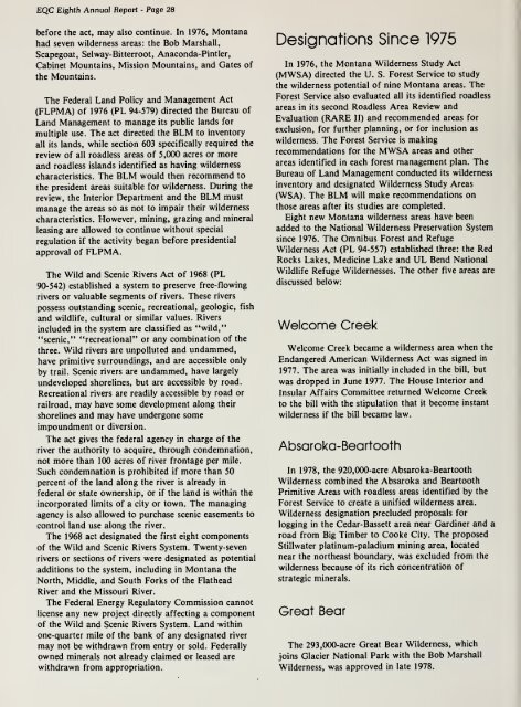
EQC <strong>Eighth</strong> <strong>Annual</strong> <strong>Report</strong> - Page 28before the act, may also continue. In 1976, <strong>Montana</strong>had seven wilderness areas: the Bob Marshall,Scapegoat, Selway-Bitterroot, Anaconda-Pintler,Cabinet Mountains, Mission Mountains, and Gates ofthe Mountains.The Federal Land Policy and Management Act(FLPMA) of 1976 (PL 94-579) directed the Bureau ofLand Management to manage its public lands formultiple use. The act directed the BLM to inventoryall its lands, while section 603 specifically required thereview of all roadless areas of 5,000 acres or moreand roadless islands identified as having wildernesscharacteristics. The BLM would then recommend tothe president areas suitable for wilderness. During thereview, the Interior Department and the BLM mustmanage the areas so as not to impair their wildernesscharacteristics. However, mining, grazing and mineralleasing are allowed to continue without specialregulation if the activity began before presidentialapproval of FLPMA.The Wild and Scenic Rivers Act of 1968 (PL90-542) established a system to preserve free-flowingrivers or valuable segments of rivers. These riverspossess outstanding scenic, recreational, geologic, fishand wildlife, cultural or similar values. Riversincluded in the system are classified as "wild,""scenic," "recreational" or any combination of thethree. Wild rivers are unpolluted and undammed,have primitive surroundings, and are accessible onlyby trail. Scenic rivers are undammed, have largelyundeveloped shorelines, but are accessible by road.Recreational rivers are readily accessible by road orrailroad, may have some development along theirshorelines and may have undergone someimpoundment or diversion.The act gives the federal agency in charge of theriver the authority to acquire, through condemnation,not more than 100 acres of river frontage per mile.Such condemnation is prohibited if more than 50percent of the land along the river is already infederal or state ownership, or if the land is within theincorporated limits of a city or town. The managingagency is also allowed to purchase scenic easements tocontrol land use along the river.The 1968 act designated the first eight componentsof the Wild and Scenic Rivers System. Twenty-sevenrivers or sections of rivers were designated as potentialadditions to the system, including in <strong>Montana</strong> theNorth, Middle, and South Forks of the FlatheadRiver and the Missouri River.The Federal Energy Regulatory Commission cannotlicense any new project directly affecting a componentof the Wild and Scenic Rivers System. Land withinone-quarter mile of the bank of any designated rivermay not be withdrawn from entry or sold. Federallyowned minerals not already claimed or leased arewithdrawn from appropriation.Designations Since 1975In 1976, the <strong>Montana</strong> Wilderness Study Act(MWSA) directed the U. S. Forest Service to studythe wilderness potential of nine <strong>Montana</strong> areas. TheForest Service also evaluated all its identified roadlessareas in its second Roadless Area Review andEvaluation (RARE II) and recommended areas forexclusion, for further planning, or for inclusion aswilderness. The Forest Service is makingrecommendations for the MWSA areas and otherareas identified in each forest management plan. TheBureau of Land Management conducted its wildernessinventory and designated Wilderness Study Areas(WSA). The BLM will make recommendations onthose areas after its studies are completed.Eight new <strong>Montana</strong> wilderness areas have beenadded to the National Wilderness Preservation Systemsince 1976. The Omnibus Forest and RefugeWilderness Act (PL 94-557) established three: the RedRocks Lakes, Medicine Lake and UL Bend NationalWildlife Refuge Wildernesses. The other five areas arediscussed below:Welcome CreekWelcome Creek became a wilderness area when theEndangered American Wilderness Act was signed in1977. The area was initially included in the bill, butwas dropped in June 1977. The House Interior andInsular Affairs Committee returned Welcome Creekto the bill with the stipulation that it become instantwilderness if the bill became law.Absaroka-BeartoothIn 1978, the 920,000-acre Absaroka-BeartoothWilderness combined the Absaroka and BeartoothPrimitive Areas with roadless areas identified by theForest Service to create a unified wilderness area.Wilderness designation precluded proposals forlogging in the Cedar-Bassett area near Gardiner and aroad from Big Timber to Cooke City. The proposedStillwater platinum-paladium mining area, locatednear the northeast boundary, was excluded from thewilderness because of its rich concentration ofstrategic minerals.Great BearThe 293,000-acre Great Bear Wilderness, whichjoins Glacier National Park with the Bob MarshallWilderness, was approved in late 1978.


