Plynlimon (central) - Royal Commission on the Ancient and ...
Plynlimon (central) - Royal Commission on the Ancient and ...
Plynlimon (central) - Royal Commission on the Ancient and ...
Create successful ePaper yourself
Turn your PDF publications into a flip-book with our unique Google optimized e-Paper software.
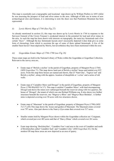
Upl<strong>and</strong>s Initiative – Nant y Moch & Pumlim<strong>on</strong> Fawr / <str<strong>on</strong>g>Plynlim<strong>on</strong></str<strong>on</strong>g> 2004This map is essentially just a topographic <strong>and</strong> locati<strong>on</strong>al map drawn up by William Wallers in 1693 whils<strong>the</strong> was assessing <strong>the</strong> prospect of lead <strong>and</strong> silver mines in <strong>the</strong> area. Although of little use in terms of newarchaeological sites <strong>and</strong> features, it is interesting to note <strong>the</strong> sheer size that Pumlim<strong>on</strong> Mountain has beenrepresented.ii) Lewis Morris Map of 1744 (See Fig 27)As already menti<strong>on</strong>ed in secti<strong>on</strong> (5), this map was drawn up by Lewis Morris in 1744 in resp<strong>on</strong>se to <strong>the</strong>Surveyor General of <strong>the</strong> Crown Treasury‘s awakened interest in <strong>the</strong> potential for lead <strong>and</strong> silver mines in<strong>the</strong> area. As such <strong>the</strong> map has been drawn with interests <strong>on</strong> topography, <strong>the</strong> main key farmsteads <strong>and</strong> a fewcertain ‗lluest’‘. Although <strong>the</strong> key farmsteads layouts aren‘t necessarily depicted it does help give us someform of chr<strong>on</strong>ology from which to ascertain <strong>the</strong> age of some of <strong>the</strong>se upl<strong>and</strong> farmsteads. A few of <strong>the</strong>smaller lluest haven‘t been depicted by Morris, but never<strong>the</strong>less <strong>the</strong>y have been menti<strong>on</strong>ed within his text.iii) Gogerddan Estate Maps of 1784-1790 (see Fig 18)These estate maps are held in <strong>the</strong> Nati<strong>on</strong>al Library of Wales within <strong>the</strong> Gogerddan or Gogerthan Collecti<strong>on</strong>.Relevant to <strong>the</strong> survey area are, Estate map of ‗Bwlch-y-styllen‘ in <strong>the</strong> parish of Gogerthan, property of Margaret Pryse (1784)(MSS Gogerthan 71). This map shows l<strong>and</strong> east of Bwlch-y-styllen‘ house <strong>and</strong> totaled over 822acres. From this map three houses are named <strong>and</strong> shown, that of ‗Nant Glas‘, ‗Fagwyr isaf‘ <strong>and</strong>Bwlch-y-styllen‘, al<strong>on</strong>g with <strong>the</strong> approx. locati<strong>on</strong> of sheepfolds or ‗corlan‘ <strong>and</strong> a series of oldwalls.Estate map of ‗Camddwr Mawr <strong>and</strong> Drosgol‘ in <strong>the</strong> parish of Gogerthan, property of MargaretPryse (1788-90)(MSS Vol 37). This map is entitled ‗Camddwr Mawr‘ with l<strong>and</strong> encompassingDrosgol <strong>and</strong> shows <strong>the</strong> mines now submerged beneath <strong>the</strong> reservoir al<strong>on</strong>g with two quarries, <strong>the</strong>house of ‗Drosgol‘, <strong>the</strong> tenant of which was <strong>on</strong>e Richard Williams esq. It also shows two fur<strong>the</strong>rstructures beneath <strong>the</strong> reservoir, <strong>on</strong>e ‗Magwyr-y-Rhos‘ <strong>and</strong> ‗Magwyr Bryn Shrinkin‘. A fur<strong>the</strong>rmine is depicted covering over 50 acres with two structures shown.Estate map of ‗Maesnant‘ in <strong>the</strong> parish of Gogerthan, property of Margaret Pryse (1790) (MSSVol 37 p46) This map shows <strong>the</strong> house <strong>and</strong> garden of Maesnant. The Maesnant estate coveredover 797 acres. Also part shown is <strong>the</strong> Nant-y-Llyn estate that covered over 517 acres.Smaller estates held by Margaret Pryse shown within <strong>the</strong> Gogerddan collecti<strong>on</strong> are ‗Craignant,which covered just over 403 acres <strong>and</strong> that of ‗Dan-y-Dinas‘ which covered over 261 acres.Esate map showing ‗Bwlchstyllen‘, ‗Camddwr Faw‘r <strong>and</strong> area to <strong>the</strong> west of Camddwr <strong>and</strong> northof Bwlchstyllen called ‗Camddwr fach‘ <strong>and</strong> ‗Camddwr Llity‘ (MSS Gogerthan 82). On <strong>the</strong>modern OS map <strong>the</strong>se areas are now depicted as an area of quarry.71CAP Report No: 355


![The Source of the Usk Walk [2012 PDF]](https://img.yumpu.com/49285699/1/190x245/the-source-of-the-usk-walk-2012-pdf.jpg?quality=85)


