tourism brochure 2011_Layout 1 - Destination RCT - Rhondda ...
tourism brochure 2011_Layout 1 - Destination RCT - Rhondda ...
tourism brochure 2011_Layout 1 - Destination RCT - Rhondda ...

Create successful ePaper yourself
Turn your PDF publications into a flip-book with our unique Google optimized e-Paper software.
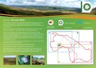
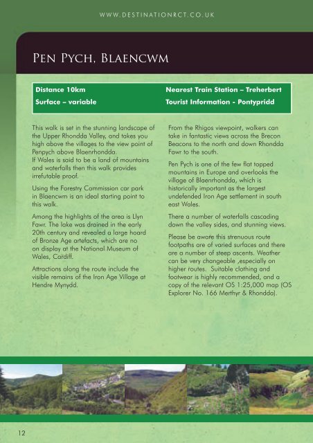
WWW.DESTINATION<strong>RCT</strong>.CO.UKPen Pych, BlaencwmDistance 10kmSurface – variableNearest Train Station – TreherbertTourist Information - PontypriddThis walk is set in the stunning landscape ofthe Upper <strong>Rhondda</strong> Valley, and takes youhigh above the villages to the view point ofPenpych above Blaenrhondda.If Wales is said to be a land of mountainsand waterfalls then this walk providesirrefutable proof.Using the Forestry Commission car parkin Blaencwm is an ideal starting point tothis walk.Among the highlights of the area is LlynFawr. The lake was drained in the early20th century and revealed a large hoardof Bronze Age artefacts, which are noon display at the National Museum ofWales, Cardiff.Attractions along the route include thevisible remains of the Iron Age Village atHendre Mynydd.From the Rhigos viewpoint, walkers cantake in fantastic views across the BreconBeacons to the north and down <strong>Rhondda</strong>Fawr to the south.Pen Pych is one of the few flat toppedmountains in Europe and overlooks thevillage of Blaenrhondda, which ishistorically important as the largestundefended Iron Age settlement in southeast Wales.There a number of waterfalls cascadingdown the valley sides, and stunning views.Please be aware this strenuous routefootpaths are of varied surfaces and thereare a number of steep ascents. Weathercan be very changeable ,especially onhigher routes. Suitable clothing andfootwear is highly recommended, and acopy of the relevant OS 1:25,000 map (OSExplorer No. 166 Merthyr & <strong>Rhondda</strong>).12