tourism brochure 2011_Layout 1 - Destination RCT - Rhondda ...
tourism brochure 2011_Layout 1 - Destination RCT - Rhondda ...
tourism brochure 2011_Layout 1 - Destination RCT - Rhondda ...

You also want an ePaper? Increase the reach of your titles
YUMPU automatically turns print PDFs into web optimized ePapers that Google loves.
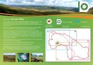
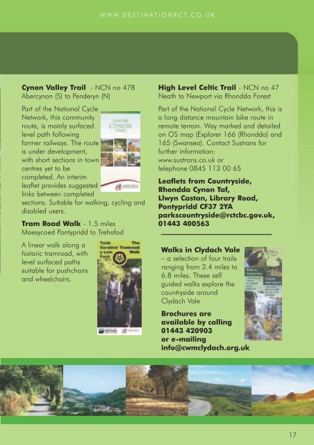
WWW.DESTINATION<strong>RCT</strong>.CO.UKCynon Valley Trail - NCN no 478Abercynon (S) to Penderyn (N)Part of the National CycleNetwork, this communityroute, is mainly surfacedlevel path followingformer railways. The routeis under development,with short sections in towncentres yet to becompleted. An interimleaflet provides suggestedlinks between completedsections. Suitable for walking, cycling anddisabled users.Tram Road Walk - 1.5 milesMaesycoed Pontypridd to TrehafodA linear walk along ahistoric tramroad, withlevel surfaced pathssuitable for pushchairsand wheelchairs.High Level Celtic Trail - NCN no 47Neath to Newport via <strong>Rhondda</strong> ForestPart of the National Cycle Network, this isa long distance mountain bike route inremote terrain. Way marked and detailedon OS map (Explorer 166 (<strong>Rhondda</strong>) and165 (Swansea). Contact Sustrans forfurther information:www.sustrans.co.uk ortelephone 0845 113 00 65Leaflets from Countryside,<strong>Rhondda</strong> Cynon Taf,Llwyn Castan, Library Road,Pontypridd CF37 2YAparkscountryside@rctcbc.gov.uk,01443 400563Walks in Clydach Vale– a selection of four trailsranging from 2.4 miles to6.8 miles. These selfguided walks explore thecountryside aroundClydach ValeBrochures areavailable by calling01443 420903or e-mailinginfo@cwmclydach.org.uk17