St. John's Municipal Plan Review 2012 ... - City of St. John's
St. John's Municipal Plan Review 2012 ... - City of St. John's
St. John's Municipal Plan Review 2012 ... - City of St. John's
- No tags were found...

Create successful ePaper yourself
Turn your PDF publications into a flip-book with our unique Google optimized e-Paper software.
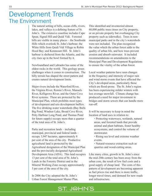
15 <strong>St</strong>. John’s <strong>Municipal</strong> <strong>Plan</strong> <strong>Review</strong> <strong>2012</strong>: Background ReportDevelopment TrendsThe EnvironmentThe natural setting <strong>of</strong> hills, ocean cliffs, rivers,lakes, and valleys is a defining feature <strong>of</strong> <strong>St</strong>.John’s. The extensive coastline includes CapeSpear, Signal Hill and Quidi Vidi. Forestedhills are visible in many places – the SouthsideHills which overlook <strong>St</strong>. John’s harbour; theWhite Hills from Quidi Vidi Village to RobinHood Bay; and Kenmount Hill. <strong>St</strong>. John’sharbour is sheltered from the Atlantic, and thecity rises up in the bowl formed by it.Newfoundland and Labrador has some <strong>of</strong> theoldest rocks in the world. This geology poseschallenges when it comes to construction. Thehilly terrain has shaped the street pattern andcreates natural development limits.Major rivers include the Waterford River,the Virginia River, Rennie’s River, ManuelsRiver, Kelligrews River, and the Outer CoveRiver systems. These are protected by the<strong>Municipal</strong> <strong>Plan</strong>, which prohibits most types<strong>of</strong> development and sets development buffers.The five drinking-water watersheds (Bay BullsBig Pond, Windsor Lake, Broad Cove River,Petty Harbour Long Pond, and Thomas Pondfor future supply) occupy more than a quarter<strong>of</strong> the total area <strong>of</strong> <strong>St</strong>. John’s.Parks and recreation lands – includingmunicipal, provincial and federal lands –occupy 3,947 hectares, approximately 8per cent <strong>of</strong> the area <strong>of</strong> the city. Productiveagricultural land is protected by theAgricultural designation <strong>of</strong> the <strong>Municipal</strong> <strong>Plan</strong>and the provincially designated AgriculturalDevelopment Area (ADA). This land occupies13 per cent <strong>of</strong> the total area <strong>of</strong> <strong>St</strong>. John’s.Lands in the Forestry District and in theMineral Working Zone occupy approximately5 per cent <strong>of</strong> the area <strong>of</strong> the city.In 2006 the <strong>City</strong> adopted the <strong>St</strong>. John’sUrban Forest Management Master <strong>Plan</strong>.This identified and inventoried almost60,000 public trees (trees on <strong>City</strong> property,or on private property but overhanging <strong>City</strong>property such as sidewalks). Trees in nonmunicipalparks and in the city’s watershedswere not included. The plan recognizedthe value which the urban forest adds to thequality <strong>of</strong> urban life, and how trees preventerosion and absorb rainwater. It includedrecommendations on amendments to the<strong>Municipal</strong> <strong>Plan</strong> and Development Regulationsto ensure the vitality <strong>of</strong> the urban forest.Local weather patterns have seen changesin the frequency and intensity <strong>of</strong> major rainand wind storm events that have affected the<strong>City</strong>’s developed areas, particularly thosewhich are flood-prone. The <strong>St</strong>. John’s regionhas been experiencing milder winters withless average snowfall. Climate change hasproduced a need for major investment inbridges and storm sewers that can handle morerun-<strong>of</strong>f.It will be necessary to keep in mind thelocation <strong>of</strong> land uses in relation to:• Protecting waterways, wetlands, naturalareas, and forested lands that provideanimal and plant habitats, foster healthyecosystems, and control the volume <strong>of</strong>stormwater.• Rising sea level and extreme weatherevents.• Natural-resource extraction such asquarries and wood-cutting areas.Like many cities, growth in <strong>St</strong>. John’s sincethe mid-20th century has been away from theurban core, the result <strong>of</strong> low fuel costs and agood supply <strong>of</strong> cheap land. The costs <strong>of</strong> thispattern <strong>of</strong> development are becoming apparentas fuel prices rise and there is more traffic,longer travel times, and demand for new roadsand infrastructure.