September 2010 Volume 13 - Webtraders
September 2010 Volume 13 - Webtraders
September 2010 Volume 13 - Webtraders
You also want an ePaper? Increase the reach of your titles
YUMPU automatically turns print PDFs into web optimized ePapers that Google loves.
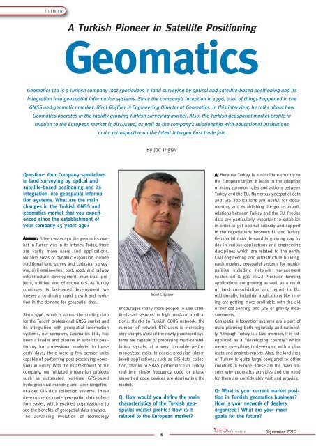
InterviewA Turkish Pioneer in Satellite PositioningGeomaticsGeomatics Ltd is a Turkish company that specializes in land surveying by optical and satellite-based positioning and itsintegration into geospatial information systems. Since the company’s inception in 1996, a lot of things happened in theGNSS and geomatics market. Birol Güçlüer is Engineering Director at Geomatics. In this interview, he talks about howGeomatics operates in the rapidly growing Turkish surveying market. Also, the Turkish geospatial market profile inrelation to the European market is discussed, as well as the company’s relationship with educational institutionsand a retrospective on the latest Intergeo East trade fair.By Joc TriglavQuestion: Your Company specializesin land surveying by optical andsatellite-based positioning and itsintegration into geospatial informationsystems. What are the mainchanges in the Turkish GNSS andgeomatics market that you experiencedsince the establishment ofyour company 15 years ago?Fifteen years ago the geomatics marketin Turkey was in its infancy. Today, thereare vastly more users and applications.Notable areas of dynamic expansion includetraditional land survey and cadastral surveying,civil engineering, port, road, and railwayinfrastructure development, municipal projects,utilities, and of course GIS. As Turkeycontinues its fast-paced development, weforesee a continuing rapid growth and evolutionin the demand for geospatial data.Since 1996, which is almost the starting datefor the Turkish professional GNSS market andits integration with geospatial informationsystems, our company, Geomatics Ltd., hasbeen a leader and pioneer in satellite positioningfor professional markets. In thoseearly days, there were a few sensor unitscapable of performing post processing operationsin Turkey. With the establishment of ourcompany, we initiated integration projectssuch as automated real-time GPS-basedhydrographical mapping and laser rangefinder-aidedGIS data collection systems. Thesedevelopments made geospatial data collectioneasier, which enabled organizations tosee the benefits of geospatial data analysis.The advancing evolution of technologyBirol Güçlüerencourages many more people to use satellite-basedsystems. In high precision applications,thanks to Turkish CORS network, thenumber of network RTK users is increasingvery sharply. Most of the newly purchased systemsare capable of processing multi-constellationsignals, at a very favorable performance/costratio. In coarse precision (dm-mlevel) applications, such as GIS data collection,thanks to SBAS performance in Turkey,real-time single frequency code or phasesmoothed code devices are dominating themarket.Q: How would you define the maincharacteristics of the Turkish geo -spatial market profile? How is itrelated to the European market?Because Turkey is a candidate country tothe European Union, it leads to the adoptionof many common rules and actions betweenTurkey and the EU. Numerous geospatial dataand GIS applications are useful for documentingand establishing the geo-economicrelations between Turkey and the EU. Precisedata are particularly important to establishin order to get optimal subsidy and supportin the negotiations between EU and Turkey.Geospatial data demand is growing day byday in various applications and engineeringdisciplines which are related to the earth:Civil engineering and infrastructure building,earth moving, geospatial systems for municipalitiesincluding network management(water, oil & gas etc...) Precision farmingapplications are growing as well, as a resultof land consolidation and report to EU.Additionally, industrial applications like miningare getting more profitable with the aidof remote sensing and GIS or gravity measurements.Geospatial information systems are a part ofmain planning both regionally and nationally.Although Turkey is a G20 member, it is categorizedas a “developing country” whichmeans everything is developed with a plan(data and analysis report). Also, the land areaof Turkey is quite large compared to othercountries in Europe. These are the main reasonswhy geomatics activities and the needfor them are considerably vast and growing.Q: What is your current market positionin Turkish geomatics business?How is your network of dealersorganized? What are your maingoals for the future?6<strong>September</strong> <strong>2010</strong>


