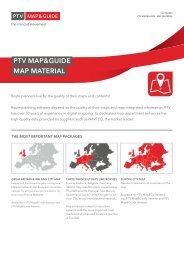
PTV Map&Guide Brochure
PTV Map&Guide Brochure
PTV Map&Guide Brochure
- No tags were found...

You also want an ePaper? Increase the reach of your titles
YUMPU automatically turns print PDFs into web optimized ePapers that Google loves.
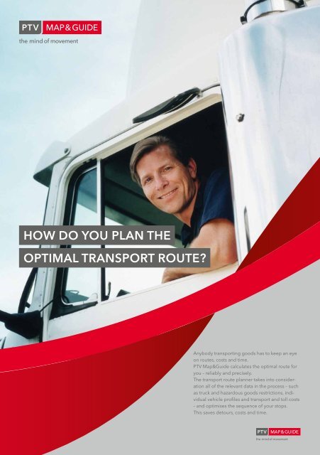
TITELHow do you plan theoptimal transport route?Anybody transporting goods has to keep an eyeon routes, costs and time.<strong>PTV</strong> Map&<strong>Guide</strong> calculates the optimal route foryou – reliably and precisely.The transport route planner takes into considerationall of the relevant data in the process – suchas truck and hazardous goods restrictions, individualvehicle profiles and transport and toll costs– and optimises the sequence of your stops.This saves detours, costs and time.
LKW RoutenplanungTruck route planningmap&guide InternetReach your destination quickly – by avoiding unnecessary detoursReihenfolgeoptimierungmap&guide Intranet<strong>PTV</strong> Map&<strong>Guide</strong> calculates the optimal route for trucks, taking into account:Plan your route to maximiseprofits based onreliable data, and avoidunnecessary risks, delaysand detours.Official truck and hazardous goods data – throughout Europe, including:Restrictions in height, width, length, total weight and axle loadTransit bans (e.g. > 3.5 t trailers and hazardous goods transports)Other restrictions, such as „Residents only“Permanent roadworks, long-term road closures and the latest traffic reportsidentische The prescribed rechenergebnisse driving and rest periods as well as remaining driving Kundendaten and shift times of driversPersonally customised blocked roads and weightings (not included in the functions of <strong>PTV</strong> Map&<strong>Guide</strong>internet)Individual preferences (e.g. Allow arrivals and departures in restricted zones or avoid ferries and toll roads)Alternative routesLow-emission zonesLenk- und RuhezeitenA specific example of applicationSTART/SaundbyEmissionsberechnungWest BurtonCO 2 eMartonDestination/DarltonGREEN route / length: 10 miles / calculated with a standard route plannerRestriction: in reality the route is not suitable for trucks, because there is a truck restriction at WestBurton. The standard route planner does not take into account this restriction.Orange route / length: 22 miles / miles driven when the route is planned with a standard route plannerTrucks cannot access the road from West Burton. In this scenario you have to drive all the way back toyour starting point at Saundby and take the route via Marton.With <strong>PTV</strong> Map&<strong>Guide</strong>you save detours andoperate profitably.Blue route / length: 17 miles / calculated by <strong>PTV</strong> Map&<strong>Guide</strong><strong>PTV</strong> Map&<strong>Guide</strong> automatically takes into account truck restrictions, such as height and weight restrictionsbased on the specified vehicle profile.<strong>PTV</strong> Map&<strong>Guide</strong> recognises that the road from West Burton is restricted for trucks and, as a result,calculates the correct route for trucks from the very beginning.What does this mean for you?Rather than driving 22 miles, which would have been the case with a standard route planner, with <strong>PTV</strong>Map&<strong>Guide</strong> you only drive 17 miles. With <strong>PTV</strong> Map&<strong>Guide</strong> you avoid making a 5 miles detour, savingboth time and money.Calculate correctly from the very beginning and therefore avoid differences between the amount ofmiles planned and those driven. With <strong>PTV</strong> Map&<strong>Guide</strong> you calculate precisely and operate profitably.