Master Plan for Rob Wallace Park - Cabarrus County
Master Plan for Rob Wallace Park - Cabarrus County
Master Plan for Rob Wallace Park - Cabarrus County
- No tags were found...
Create successful ePaper yourself
Turn your PDF publications into a flip-book with our unique Google optimized e-Paper software.
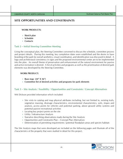
CABARRUS county, north carolina Southeast <strong>Cabarrus</strong> <strong>Park</strong> <strong>Master</strong> <strong>Plan</strong>site opportunities and constraintsWork Products: Sketch plan Schedule ContactsTask 2 – Initial Steering Committee MeetingUsing the conceptual plan, the Steering Committee convened to discuss the schedule, committee processand project details. During this meeting, key completion dates were established and the desire to havebranding of the park <strong>for</strong> overall aesthetics, visual coordination, and identification was discussed in detail. Alogo and architectural consistency in signs and the proposed environmental center are to be implementedinto the plan. An overall theme of preservation and enhancement of the natural environment <strong>for</strong> passiveand active recreation is desired. A list of activities and programs as well as the prioritization of desired parkelements was developed by the Steering Committee.Work Product: Base map (24" X 36") Committee list of desired activities and programs <strong>for</strong> park elementsTask 3 – Site Analysis / Feasibility / Opportunities and Constraints / Concept AlternativesWK Dickson provided in<strong>for</strong>mation which included: Site visits to catalog and map physical attributes including, but not limited to, existing trails,vegetative massing, drainage characteristics, environmental characteristics, soils, slopes andanalysis, access points <strong>for</strong> vehicles and potential parking, above ground utility systems andpotential passive recreational activities Locating key project points on the site Utility / Infrastructure Analysis Narrative describing observations made during the Site Analysis Opportunities and Constraints <strong>Plan</strong> – Concept <strong>Plan</strong> Alternatives Determination of permitting requirements / potential floodplain areas and species habitatsThe Site Analysis maps that were developed are included on the following pages and illustrate all of thecharacteristics of the property that were studied in detail <strong>for</strong> this project.| |


