ENVI RONMENTAL HI STORY OF ROWES BAY - Townsville State ...
ENVI RONMENTAL HI STORY OF ROWES BAY - Townsville State ...
ENVI RONMENTAL HI STORY OF ROWES BAY - Townsville State ...
- No tags were found...
You also want an ePaper? Increase the reach of your titles
YUMPU automatically turns print PDFs into web optimized ePapers that Google loves.
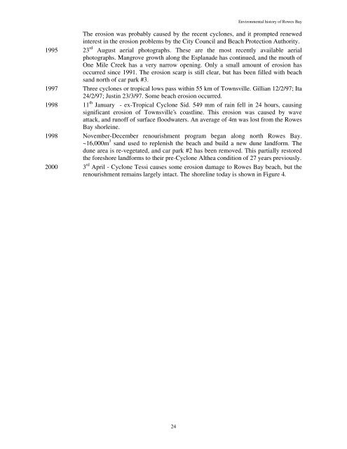
Environmental history of Rowes BayThe erosion was probably caused by the recent cyclones, and it prompted renewedinterest in the erosion problems by the City Council and Beach Protection Authority.1995 23 rd August aerial photographs. These are the most recently available aerialphotographs. Mangrove growth along the Esplanade has continued, and the mouth ofOne Mile Creek has a very narrow opening. Only a small amount of erosion hasoccurred since 1991. The erosion scarp is still clear, but has been filled with beachsand north of car park #3.1997 Three cyclones or tropical lows pass within 55 km of <strong>Townsville</strong>. Gillian 12/2/97; Ita24/2/97; Justin 23/3/97. Some beach erosion occurred.1998 11 th January - ex-Tropical Cyclone Sid. 549 mm of rain fell in 24 hours, causingsignificant erosion of <strong>Townsville</strong>’s coastline. This erosion was caused by waveattack, and runoff of surface floodwaters. An average of 4m was lost from the RowesBay shorleine.1998 November-December renourishment program began along north Rowes Bay.~16,000m 3 sand used to replenish the beach and build a new dune landform. Thedune area is re-vegetated, and car park #2 has been removed. This partially restoredthe foreshore landforms to their pre-Cyclone Althea condition of 27 years previously.2000 3 rd April - Cyclone Tessi causes some erosion damage to Rowes Bay beach, but therenourishment remains largely intact. The shoreline today is shown in Figure 4.24


