Yellowstone County Montana Cadastral Accuracy Pilot Project ...
Yellowstone County Montana Cadastral Accuracy Pilot Project ...
Yellowstone County Montana Cadastral Accuracy Pilot Project ...
Create successful ePaper yourself
Turn your PDF publications into a flip-book with our unique Google optimized e-Paper software.
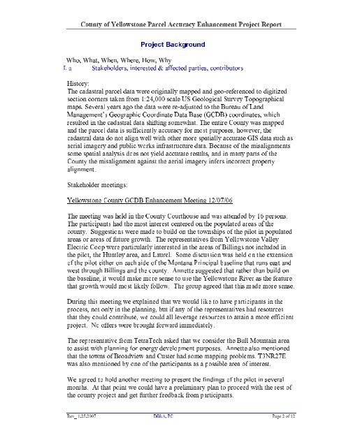
What, When, Where, How, WhyWho,a Stakeholders, interested & affected parties, contributorsI.History:cadastral parcel data were originally mapped and geo-referenced to digitizedThecorners taken from 1:24,000 scale US Geological Survey TopographicalsectionSeveral years ago the data were re-adjusted to the Bureau of Landmaps.Geographic Coordinate Data Base (GCDB) coordinates, whichManagement’sin the cadastral data shifting somewhat. The entire <strong>County</strong> was mappedresultedthe parcel data is sufficiently accuracy for most purposes, however, theanddata do not align well with other more spatially accurate GIS data such ascadastralimagery and public works infrastructure data. Because of the misalignmentsaerialspatial analysis does not yield accurate results, and in many parts of thesomethe misalignment against the aerial imagery infers incorrect property<strong>County</strong>alignment.meeting was held in the <strong>County</strong> Courthouse and was attended by 16 persons.Theparticipants had the most interest centered on the populated areas of theTheSuggestions were made to build on the townships of the pilot in populatedcounty.or areas of future growth. The representatives from <strong>Yellowstone</strong> ValleyareasCoop were particularly interested in the areas of Billings not included inElectricpilot, the Huntley area, and Laurel. Some discussion was held on the extensionthethe pilot either on each side of the <strong>Montana</strong> Principal baseline that runs east andofthrough Billings and the county. Annette suggested that rather than build onwestbaseline, it would make more sense to use the <strong>Yellowstone</strong> River as the featurethegrowth would most likely follow. The group agreed that this made more sense.thatthis meeting we explained that we would like to have participants in theDuringnot only in the planning, but if any of the representatives had resourcesprocess,they could contribute, we could all leverage resources to attain a more efficientthatNo offers were brought forward immediately.project.representative from TetraTech asked that we consider the Bull Mountain areaTheassist with planning for energy development purposes. Annette also mentionedtothe towns of Broadview and Custer had some mapping problems. T3NR27Ethatalso mentioned by one of the participants as a possible area of interest.wasagreed to hold another meeting to present the findings of the pilot in severalWeAt that point we could have a preliminary plan to proceed with the rest ofmonths.<strong>County</strong> of <strong>Yellowstone</strong> Parcel <strong>Accuracy</strong> Enhancement <strong>Project</strong> Report<strong>Project</strong> BackgroundStakeholder meetings:<strong>Yellowstone</strong> <strong>County</strong> GCDB Enhancement Meeting 12/07/06the county project and get further feedback from participants.Rev_ 1.25.2007 DJ&A, PC Page 2 of 12


