4. THE INTERPRETATION OF SOIL SURVEYS FOR PRACTICAL ...
4. THE INTERPRETATION OF SOIL SURVEYS FOR PRACTICAL ...
4. THE INTERPRETATION OF SOIL SURVEYS FOR PRACTICAL ...
Create successful ePaper yourself
Turn your PDF publications into a flip-book with our unique Google optimized e-Paper software.
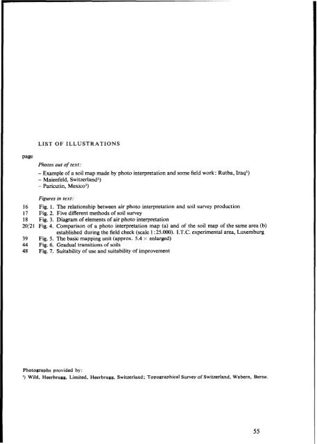
LIST <strong>OF</strong> ILLUSTRATIONSpagePhotos out of text:- Example of a soil map made by photo interpretation and some field work: Rutba, Iraq')- Maienfeld, Switzerland')- Paricutin, Mexico')Figures in text:16 Fig. 1. The relationship between air photo interpretation and soil survey production17 Fig. 2. Five different methods of soil survey18 Fig. 3. Diagram of elements of air photo interpretation20,'21 Fig. <strong>4.</strong> Comparison of a photo interpretation map (a) and of the soil map of the same area (b)established during the field check (scale 1 :25.OOO). I.T.C. experimental area, Luxemburg39 Fig. 5. The basic mapping unit (approx. 5.4 x enlarged)44 Fig. 6. Gradual transitions of soils48 Fig. 7. Suitability of use and suitability of improvementPhotosraahs provided by:'1 Wild, Heerbrugg, Limited. Heerbrugg, Switzerland ; Topographical Survey of Switzerland, Wabern. Berne.55


