Cwm Prysor (Merionethshire) - Royal Commission on the Ancient ...
Cwm Prysor (Merionethshire) - Royal Commission on the Ancient ...
Cwm Prysor (Merionethshire) - Royal Commission on the Ancient ...
Create successful ePaper yourself
Turn your PDF publications into a flip-book with our unique Google optimized e-Paper software.
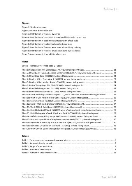
ArcHeritageiiFiguresFigure 1: Site locati<strong>on</strong> mapFigure 2: Feature distributi<strong>on</strong> plotFigure 3: Distributi<strong>on</strong> of features by periodFigure 4: Distributi<strong>on</strong> of prehistoric to medieval features by broad classFigure 5: Distributi<strong>on</strong> of post-medieval features by broad classFigure 6: Distributi<strong>on</strong> of modern features by broad classFigure 7: Distributi<strong>on</strong> of features associated with military trainingFigure 8: Distributi<strong>on</strong> of features of unknown date by broad classFigure 9: Areas suggested for additi<strong>on</strong>al researchPlatesCover: Rainbow over Ffrîdd Bodd-y-FuddauPlate 1: Craiglaseithin Hut Circle I (531170), viewed facing northwest ..................................................... 22Plate 2: Ffrîdd Bod-y-Fuddau Enclosed Settlement I (303057), view west over settlement ..................... 22Plate 3: Ffrîdd Glap Cairn XI (531273), viewed facing west ....................................................................... 23Plate 4: Moel yr Wden Track Way III (503900), viewed facing sou<strong>the</strong>ast ................................................. 23Plate 5: Moel yr Wden Marker St<strong>on</strong>e I (530628), viewed facing west ...................................................... 24Plate 6: East of Pen-y-Stryd Tile Kiln I (303042), viewed facing north ....................................................... 24Plate 7: Ffrîdd Ddu L<strong>on</strong>ghouse I (531289), viewed facing north................................................................ 25Plate 8: Ffrîdd Ddu Structure IV (531231), viewed facing sou<strong>the</strong>ast ......................................................... 25Plate 9: Buarth-Brwynog Farmhouse I (530721), detail of hearth area viewed facing northwest ............ 26Plate 10: West of Dôl-y-Moch-Uchaf Bank III (530140), viewed facing east ............................................. 26Plate 11: Cae-Gwair Barn I (531125), viewed facing northwest ................................................................ 27Plate 12: Craig y Ffolt Stock Enclosure I (401035), viewed facing north .................................................... 27Plate 13: West Of Gelli Gain Quarry I (531520), viewed facing north ....................................................... 28Plate 14: Ffrîdd Ddu Gold Mine II (531287), view of adit and spoil heap, facing southwest ..................... 28Plate 15: Ffrîdd Dôl-y-Moch Track Way II and Bank V (530038-39), viewed facing west .......................... 29Plate 16: Hafod-y-Gareg Firing Range Blockhouse I (530604), viewed facing nor<strong>the</strong>ast .......................... 29Plate 17: North of Mynydd Bach Teleph<strong>on</strong>e Juncti<strong>on</strong> Box I (530271), viewed facing south ..................... 30Plate 18: Mynydd Bach Military Practice Trenches I (530235), trench or collapsed tunnel ...................... 30Plate 19: Nor<strong>the</strong>ast Of Gelli Gain Structure I (531442), viewed facing south ........................................... 31Plate 20: West Of Gelli Gain Building Platform II (531518), viewed facing southwest .............................. 31TablesTable 1: Total number of known and surveyed sites ................................................................................... 6Table 2: Surveyed sites by period ................................................................................................................ 7Table 3: Range of sites by altitude ............................................................................................................... 8Table 4: Number of sites by type ................................................................................................................. 9Table 5: Number of sites by Broad Class .................................................................................................... 11<str<strong>on</strong>g>Cwm</str<strong>on</strong>g> <str<strong>on</strong>g>Prysor</str<strong>on</strong>g> Upland SurveyArcHeritage Survey Report Report No 2013/8


![The Source of the Usk Walk [2012 PDF]](https://img.yumpu.com/49285699/1/190x245/the-source-of-the-usk-walk-2012-pdf.jpg?quality=85)


