How Satellite Images Provide Total Phosphorus Monitoring White ...
How Satellite Images Provide Total Phosphorus Monitoring White ...
How Satellite Images Provide Total Phosphorus Monitoring White ...
You also want an ePaper? Increase the reach of your titles
YUMPU automatically turns print PDFs into web optimized ePapers that Google loves.
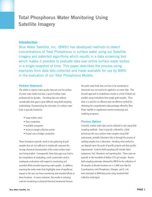
<strong>Total</strong> <strong>Phosphorus</strong> Water <strong>Monitoring</strong> Using<strong>Satellite</strong> ImageryIntroductionBlue Water <strong>Satellite</strong>, Inc. (BWSI) has developed methods to detectconcentrations of <strong>Total</strong> <strong>Phosphorus</strong> in surface water using our <strong>Satellite</strong>imagery and patented algorithms which results in a data screening toolwhich makes it possible to evaluate data over entire surface water bodiesin a single snapshot of time. This paper describes the process usingexamples from data sets collected and made available for use by BWSIin the evaluation of our <strong>Total</strong> <strong>Phosphorus</strong> Models.Problem StatementThe ability to capture water quality data sets over the surfaceof entire water bodies has been a goal of surface waterprofessionals for decades. Providing data sets withoutconsiderable data gaps is quite difficult using field samplingmethodology. Characterizing the chemistry of a surface waterbody is typically limited by:• Large surface areas• Time constraints• Available manpower• Access to sample collection points• Project cost or budget constraintsThese limitations typically result in the gathering of grabsamples that are not sufficient to statistically represent theaverage chemical characteristics of the entire surface waterarea being studied. Consequently, these data gaps may lead tothe compilation of misleading, overly conservative and/orinadequate evaluations with respect to monitoring andremedial efforts towards improving water quality. In addition,scanning the entire water body highlights areas of significantimpact so the user can focus monitoring and remedial efforts atthose locations. In many instances, this results in reducingcosts for monitoring or physical/chemical treatments becausethe entire water body does not have to be monitored orchemicals may not need to be applied to an entire lake. Thisfocused approach to remediation results in a level of detail notpossible using evaluations from single grab samples. Thus,there is a need for an efficient and cost effective method forobtaining the comprehensive data packages offered by BlueWater <strong>Satellite</strong> to supplement current monitoring andmodeling programs.Previous OptionsCurrently, surface water data can be collected in-situ using fieldsampling methods. Data is typically collected by a fieldtechnician who may analyze water samples using fieldinstruments, portable laboratory kits or through the process ofsending samples into a laboratory. Deciding what method touse depends upon the goals of specific projects and data qualityrequirements. Costs for field sampling will include labor,equipment, fuel, laboratory and reporting fees. These costs aretypically in the hundreds of dollars (US) per sample. Recentfield sampling estimates obtained by BWSI for the collection of30 samples at discrete locations on a 11,000-acre lake forCyanobacteria, total <strong>Phosphorus</strong>, Nitrogen, and E. coliwere estimated at $600/data point using standard fieldcollection techniques.Blue Water <strong>Satellite</strong>, Inc.PAGE 1


