NO.19
nscwps19_early_voyaging_south_china_sea_implications_territorial_claims
nscwps19_early_voyaging_south_china_sea_implications_territorial_claims
You also want an ePaper? Increase the reach of your titles
YUMPU automatically turns print PDFs into web optimized ePapers that Google loves.
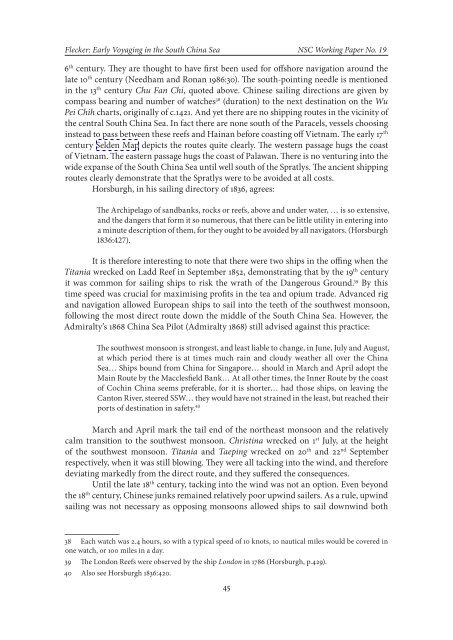
Flecker: Early Voyaging in the South China Sea NSC Working Paper No. 196 th century. They are thought to have first been used for offshore navigation around thelate 10 th century (Needham and Ronan 1986:30). The south-pointing needle is mentionedin the 13 th century Chu Fan Chi, quoted above. Chinese sailing directions are given bycompass bearing and number of watches 38 (duration) to the next destination on the WuPei Chih charts, originally of c.1421. And yet there are no shipping routes in the vicinity ofthe central South China Sea. In fact there are none south of the Paracels, vessels choosinginstead to pass between these reefs and Hainan before coasting off Vietnam. The early 17 thcentury Selden Map depicts the routes quite clearly. The western passage hugs the coastof Vietnam. The eastern passage hugs the coast of Palawan. There is no venturing into thewide expanse of the South China Sea until well south of the Spratlys. The ancient shippingroutes clearly demonstrate that the Spratlys were to be avoided at all costs.Horsburgh, in his sailing directory of 1836, agrees:The Archipelago of sandbanks, rocks or reefs, above and under water, … is so extensive,and the dangers that form it so numerous, that there can be little utility in entering intoa minute description of them, for they ought to be avoided by all navigators. (Horsburgh1836:427).It is therefore interesting to note that there were two ships in the offing when theTitania wrecked on Ladd Reef in September 1852, demonstrating that by the 19 th centuryit was common for sailing ships to risk the wrath of the Dangerous Ground. 39 By thistime speed was crucial for maximising profits in the tea and opium trade. Advanced rigand navigation allowed European ships to sail into the teeth of the southwest monsoon,following the most direct route down the middle of the South China Sea. However, theAdmiralty’s 1868 China Sea Pilot (Admiralty 1868) still advised against this practice:The southwest monsoon is strongest, and least liable to change, in June, July and August,at which period there is at times much rain and cloudy weather all over the ChinaSea… Ships bound from China for Singapore… should in March and April adopt theMain Route by the Macclesfield Bank… At all other times, the Inner Route by the coastof Cochin China seems preferable, for it is shorter… had those ships, on leaving theCanton River, steered SSW… they would have not strained in the least, but reached theirports of destination in safety. 40March and April mark the tail end of the northeast monsoon and the relativelycalm transition to the southwest monsoon. Christina wrecked on 1 st July, at the heightof the southwest monsoon. Titania and Taeping wrecked on 20 th and 22 nd Septemberrespectively, when it was still blowing. They were all tacking into the wind, and thereforedeviating markedly from the direct route, and they suffered the consequences.Until the late 18 th century, tacking into the wind was not an option. Even beyondthe 18 th century, Chinese junks remained relatively poor upwind sailers. As a rule, upwindsailing was not necessary as opposing monsoons allowed ships to sail downwind both38 Each watch was 2.4 hours, so with a typical speed of 10 knots, 10 nautical miles would be covered inone watch, or 100 miles in a day.39 The London Reefs were observed by the ship London in 1786 (Horsburgh, p.429).40 Also see Horsburgh 1836:420.45


