Setting up of a Kenya National Domestic Violence Call Center (K ...
Setting up of a Kenya National Domestic Violence Call Center (K ...
Setting up of a Kenya National Domestic Violence Call Center (K ...

You also want an ePaper? Increase the reach of your titles
YUMPU automatically turns print PDFs into web optimized ePapers that Google loves.
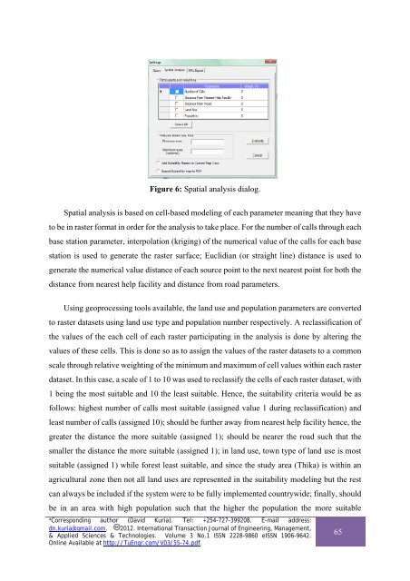
Figure 6: Spatial analysis dialog.<br />
Spatial analysis is based on cell-based modeling <strong>of</strong> each parameter meaning that they have<br />
to be in raster format in order for the analysis to take place. For the number <strong>of</strong> calls through each<br />
base station parameter, interpolation (kriging) <strong>of</strong> the numerical value <strong>of</strong> the calls for each base<br />
station is used to generate the raster surface; Euclidian (or straight line) distance is used to<br />
generate the numerical value distance <strong>of</strong> each source point to the next nearest point for both the<br />
distance from nearest help facility and distance from road parameters.<br />
Using geoprocessing tools available, the land use and population parameters are converted<br />
to raster datasets using land use type and population number respectively. A reclassification <strong>of</strong><br />
the values <strong>of</strong> the each cell <strong>of</strong> each raster participating in the analysis is done by altering the<br />
values <strong>of</strong> these cells. This is done so as to assign the values <strong>of</strong> the raster datasets to a common<br />
scale through relative weighting <strong>of</strong> the minimum and maximum <strong>of</strong> cell values within each raster<br />
dataset. In this case, a scale <strong>of</strong> 1 to 10 was used to reclassify the cells <strong>of</strong> each raster dataset, with<br />
1 being the most suitable and 10 the least suitable. Hence, the suitability criteria would be as<br />
follows: highest number <strong>of</strong> calls most suitable (assigned value 1 during reclassification) and<br />
least number <strong>of</strong> calls (assigned 10); should be further away from nearest help facility hence, the<br />
greater the distance the more suitable (assigned 1); should be nearer the road such that the<br />
smaller the distance the more suitable (assigned 1); in land use, town type <strong>of</strong> land use is most<br />
suitable (assigned 1) while forest least suitable, and since the study area (Thika) is within an<br />
agricultural zone then not all land uses are represented in the suitability modeling but the rest<br />
can always be included if the system were to be fully implemented countrywide; finally, should<br />
be in an area with high population such that the higher the population the more suitable<br />
*Corresponding author (David Kuria). Tel: +254-727-399208. E-mail address:<br />
dn.kuria@gmail.com. 2012. International Transaction Journal <strong>of</strong> Engineering, Management,<br />
& Applied Sciences & Technologies. Volume 3 No.1 ISSN 2228-9860 eISSN 1906-9642.<br />
Online Available at http://TuEngr.com/V03/55-74.pdf.<br />
65