


Create successful ePaper yourself
Turn your PDF publications into a flip-book with our unique Google optimized e-Paper software.
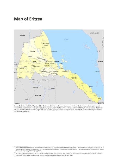
Map of Eritrea<br />
Source: State Secretariat for Migration 2015 (Switzerland) (7). All borders and names used on this and other maps in this report do not<br />
imply official endorsement or acceptance by the European Union. The border line between Eritrea and Ethiopia corresponds to the Eritrea-<br />
Ethiopia Boundary Commission’s ruling of 2002 (8). Since the ruling has not been implemented, the de facto border line diverges from that<br />
line at several points (9).<br />
(7) Map created by State Secretariat for Migration (Switzerland), 2015, based on Eritrean Demining Authority et al., Landmine Impact Survey — 2004 [map], 2004;<br />
UN Cartographic Section; Eritrea [map], n.d.; Eritrea-Ethiopia Boundary Commission, International Boundary between the State of Eritrea and the Federal<br />
Democratic Republic of Ethiopia [map], 2002.<br />
(8) Eritrea-Ethiopia Boundary Commission, International Boundary between the State of Eritrea and the Federal Democratic Republic of Ethiopia [map], 2002.<br />
(9) TesfaNews, Africa’s Cuba: Eritrea Endures 13 Years of Illegal Occupation and Sanctions, 16 April 2015.