Safety
JanFeb2017
JanFeb2017

Create successful ePaper yourself
Turn your PDF publications into a flip-book with our unique Google optimized e-Paper software.
Making the evaluation that Parson suggests<br />
starts with getting solid weather information. To<br />
get tips on that critical process, I contacted Monica<br />
Bradford, the Flight Service <strong>Safety</strong> and Operations<br />
Manager of the FAA’s Flight Service Directorate. This<br />
office manages the contract with Leidos (formerly<br />
known as Lockheed Martin).<br />
The world has changed since the days when<br />
a telephone call to Flight Service was your only<br />
option for a weather briefing. You can now visit a<br />
number of government and commercial websites<br />
to get a briefing. “Our data shows pilots primarily<br />
use web-based tools to obtain flight services, with<br />
95-percent of FAA-provided preflight briefings done<br />
via web services,” Bradford explained. “Regardless<br />
of what website they use, pilots should verify<br />
the weather sources. It is helpful to ensure that the<br />
website logs briefing activity and that it can provide<br />
an alert when the data is no longer valid. Pilots are<br />
not required to use FAA-contracted websites, but<br />
www.1800wxbrief.com and www.duats.com both<br />
have FAA oversight.” She also urges pilots to take<br />
advantage of the expertise Flight Service can offer:<br />
“If you are unsure about things you see online, contact<br />
a Flight Service specialist.”<br />
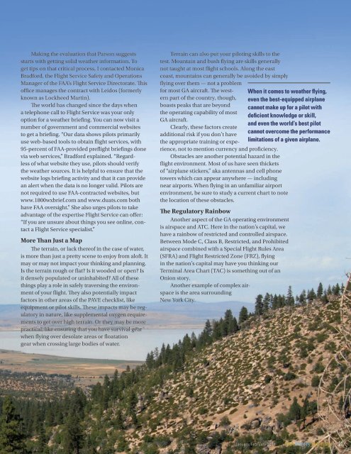
More Than Just a Map<br />
The terrain, or lack thereof in the case of water,<br />
is more than just a pretty scene to enjoy from aloft. It<br />
may or may not impact your thinking and planning.<br />
Is the terrain rough or flat? Is it wooded or open? Is<br />
it densely populated or uninhabited? All of these<br />
things play a role in safely traversing the environment<br />
of your flight. They also potentially impact<br />
factors in other areas of the PAVE checklist, like<br />
equipment or pilot skills. These impacts may be regulatory<br />
in nature, like supplemental oxygen requirements<br />
to get over high terrain. Or they may be more<br />
practical, like ensuring that you have survival gear<br />
when flying over desolate areas or floatation<br />
gear when crossing large bodies of water.<br />
Terrain can also put your piloting skills to the<br />
test. Mountain and bush flying are skills generally<br />
not taught at most flight schools. Along the east<br />
coast, mountains can generally be avoided by simply<br />
flying over them — not a problem<br />
for most GA aircraft. The western<br />
part of the country, though, even the best-equipped airplane<br />
When it comes to weather flying,<br />
boasts peaks that are beyond<br />
cannot make up for a pilot with<br />
the operating capability of most<br />
deficient knowledge or skill,<br />
GA aircraft.<br />
and even the world’s best pilot<br />
Clearly, these factors create<br />
additional risk if you don’t have<br />
cannot overcome the performance<br />
the appropriate training or experience,<br />
not to mention currency and proficiency.<br />
limitations of a given airplane.<br />
Obstacles are another potential hazard in the<br />
flight environment. Most of us have seen thickets<br />
of “airplane stickers,” aka antennas and cell phone<br />
towers which can appear anywhere — including<br />
near airports. When flying in an unfamiliar airport<br />
environment, be sure to study a current chart to note<br />
the location of these obstacles.<br />
The Regulatory Rainbow<br />
Another aspect of the GA operating environment<br />
is airspace and ATC. Here in the nation’s capital, we<br />
have a rainbow of restricted and controlled airspace.<br />
Between Mode C, Class B, Restricted, and Prohibited<br />
airspace combined with a Special Flight Rules Area<br />
(SFRA) and Flight Restricted Zone (FRZ), flying<br />
in the nation’s capital may have you thinking our<br />
Terminal Area Chart (TAC) is something out of an<br />
Onion story.<br />
Another example of complex airspace<br />
is the area surrounding<br />
New York City.<br />
January/February 2017 FAA <strong>Safety</strong> Briefing 21