GOHSEP_NWS_RiverWxBriefiing_May22

Create successful ePaper yourself
Turn your PDF publications into a flip-book with our unique Google optimized e-Paper software.
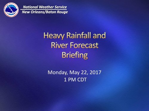
National Weather Service<br />
New Orleans/Baton Rouge<br />
Monday, May 22, 2017<br />
1 PM CDT
Stationary front<br />
across the area will<br />
be focus of showers<br />
and thunderstorms<br />
across region today<br />
through Tuesday<br />
morning.
Showers and<br />
thunderstorms<br />
across southeast TX<br />
and southwest LA<br />
will spread across<br />
region this<br />
afternoon and<br />
tonight.
Numerous showers and thunderstorms over SE TX and SW LA will<br />
spread across all of south Louisiana late afternoon through tonight.<br />
Widespread additional 2 to 4 inches - locally higher.
Showers and Thunderstorms will primarily be over southeast<br />
Louisiana during Tuesday morning before decreasing during Tuesday<br />
afternoon.
Localized heavy rain falling on saturated soil may lead to flash<br />
flooding of areas of small streams, bayous and areas of poor<br />
drainage through tonight.
Isolated strong to locally severe thunderstroms possible
Shower and<br />
thunderstorms over<br />
southeast Louisiana<br />
on Tuesday<br />
morning will begin<br />
to diminish during<br />
Tuesday afternoon<br />
and evening.<br />
Follow latest forecast information from local <strong>NWS</strong> offices<br />
Later today for updates on rainfall amounts forecasted
National Weather Service<br />
Lower Mississippi River Forecast Center<br />
Slidell, LA
Cresting near Greenville, MS
Point<br />
Natchez, MS<br />
Red River Landing<br />
Baton Rouge<br />
Donaldsonville<br />
Current<br />
Stage<br />
Flood<br />
Stage<br />
*MODERATE<br />
54.37 ft. 48 feet<br />
*MODERATE<br />
56.91 ft. 48 feet<br />
*MODERATE<br />
39.53 ft. 35 feet<br />
*MINOR<br />
28.96 ft. 27 feet<br />
Forecast / Crest<br />
(*=Additional Rises Possible)<br />
Rise to near 55ft on Thursday 5/25.<br />
Rise to near 58ft on Friday 5/26.<br />
Rise to near 41ft on Saturday 5/27.<br />
Will be in Major flood tomorrow.<br />
Rise to near 30ft on Sunday 5/28.<br />
Will be in Moderate flood on Sunday.<br />
Reserve<br />
New Orleans<br />
*MINOR<br />
22.27 ft. 22 feet<br />
Below Flood<br />
15.77 ft. 17 feet<br />
Rise to near 23ft on Monday 5/29.<br />
Rise to near 16.5ft on Monday 5/29.
Point<br />
Simmesport<br />
Melville<br />
Krotz Springs<br />
Butte La Rose<br />
Morgan City<br />
Current<br />
Stage<br />
Flood<br />
Stage<br />
Below Flood<br />
35.87 ft. 47 feet<br />
Below Flood<br />
27.94 ft. 34 feet<br />
Below Flood<br />
24.97 ft. 29 feet<br />
Below Flood<br />
17.88 ft. 20 feet<br />
*MINOR<br />
6.42 ft. 6 feet<br />
Forecast / Crest<br />
(*=Additional Rises Possible)<br />
Rise to near 37.5ft on Saturday 5/27.<br />
Rise to near 29.5ft on Saturday 5/27.<br />
Rise to near 27ft on Saturday 5/27.<br />
Rise to near 19.5ft on Saturday 5/27.<br />
Rise to near 7ft on Sunday-Monday<br />
5/28-5/29. Will be in Moderate flood<br />
on Sunday-Monday.
Talking Points<br />
• The Mississippi River is cresting near Greenville, MS.<br />
• It will likely be early next week before we get cresting<br />
conditions at New Orleans and Morgan City.<br />
• The Mississippi & Atchafalaya Rivers are forecast to crest at<br />
levels which are similar to May 2009 and several feet lower<br />
than January 2016.<br />
• Rainfall over the next two days doesn’t appear to<br />
significantly impact the Mississippi & Atchafalaya Rivers<br />
forecast.